Loading
United StatesNorth America
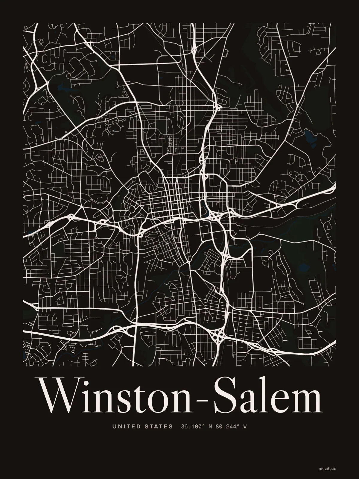
my city isWinston-Salem
Two towns made one in 1913, around a square laid out by the Moravians.
36.0999° N 80.2442° W
Neighbourhoods
- West End
- Ardmore
- Buena Vista
- North Winston
- Old Salem
- Washington Park
- Waughtown
- Holly Avenue
- Reynoldstown
- Sunnyside
- Centerville
- West Salem
- Bethabara
the sun over Winston-Salem
36.10° N · Sun Path
Longest day 14 h 35 · shortest 9 h 40
Winston-Salem, Sun Path · The ChartThe lines
Winston-Salem, in our lines
Each of our lines, drawn again for Winston-Salem, for a wall or for a chest.
In words
Winston-Salem, in its own words
From Winston-Salem's own names, set in the city's type: its neighbourhoods, its streets from A to Z and the sentence. Each one a print you can make yours.
About Winston-Salem
Moravian cookies from an old bakery, Salem's square, and creeks running off to the Yadkin. Winston-Salem is the Twin City, and it has kept both halves.
Ready to buy · ships to United States
Winston-Salem in lines and in letters
01 · 6 designs
North, south, east, west
Winston-Salem, measured: the distance to somewhere else, its year, month by month and how far it is to everywhere else. Most of its streets run north–south or east–west.
See all 6 designsShow fewer
Loading
02 · 7 designs
Thirteen neighbourhoods, by name
Winston-Salem in words: the sentence, finished, every neighbourhood run together and its name built big. Peters Creek Parkway runs longest through the middle of town.
See all 7 designsShow fewer
Loading
03 · 7 date designs
Signed and dated
Signed 36.100° N, 80.244° W and set like an invitation: the day you arrived in Winston-Salem, married there or moved away. You write the words.
See all 7 datesShow fewer
Loading
04 · 14 designs to wear and use
Winston-Salem, to wear
Winston-Salem on tees and mugs, made for you.
Ways in
Start from a moment in Winston-Salem.
Each one has the words, a pin, a date and a style already in place for Winston-Salem. Open it, then make every part yours.