Loading
United StatesNorth America
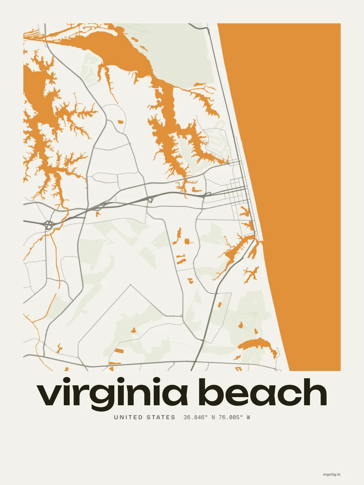
my city isVirginia Beach
More than half of it water, and most of the rest barely above the tide.
36.8529° N 75.9780° W
Neighbourhoods
- Alanton
- Aragona Village
- Bay Colony
- Bayside
- Cape Henry
- Chesapeake Beach
- Croatan Beach
- Great Neck Point
- Green Run
- Kempsville
- Larkspur
- London Bridge
- Lynnhaven
- Newtown
- The North End
- Oceana
- Ocean Park
- Pembroke Manor
- Princess Anne
- Pungo
- Sandbridge
- Shadowlawn
- Thalia
- Thoroughgood
the sun over Virginia Beach
36.85° N · Sun Path
Longest day 14 h 40 · shortest 9 h 40
Virginia Beach, Sun Path · The ChartThe lines
Virginia Beach, in our lines
The lines we draw for every city, set in Virginia Beach's colours and type.
In words
Virginia Beach, set in type
From Virginia Beach's own names, set in the city's type: its neighbourhoods, its streets from A to Z and the sentence. Each one a print you can make yours.
About Virginia Beach
A beach for a front door, farms out in Pungo, and summers that bring the rain. Virginia Beach is seven old boroughs made into one city in 1963.
Ready to buy · ships to United States
Virginia Beach, mapped and lettered
01 · 6 designs
A grid turned 15°
Virginia Beach, measured: the distance to somewhere else, its year, month by month and how far it is to everywhere else. Most of its streets run on a grid turned about 15° off north.
See all 6 designsShow fewer
Loading
02 · 7 designs
Name by name
Virginia Beach in words: the sentence, finished, every neighbourhood run together and its name built big. Laskin Road runs longest through the middle of town.
See all 7 designsShow fewer
Loading
03 · 7 date designs
Signed and dated
The day that made Virginia Beach yours, set like an invitation and signed with its coordinates, 36.853° N, 75.978° W. You write the words.
See all 7 datesShow fewer
Loading
04 · 14 designs to wear and use
Virginia Beach, to wear
Virginia Beach on tees and mugs, made for you.
Ways in
Start from a moment in Virginia Beach.
Each one has the words, a pin, a date and a style already in place for Virginia Beach. Open it, then make every part yours.