Loading

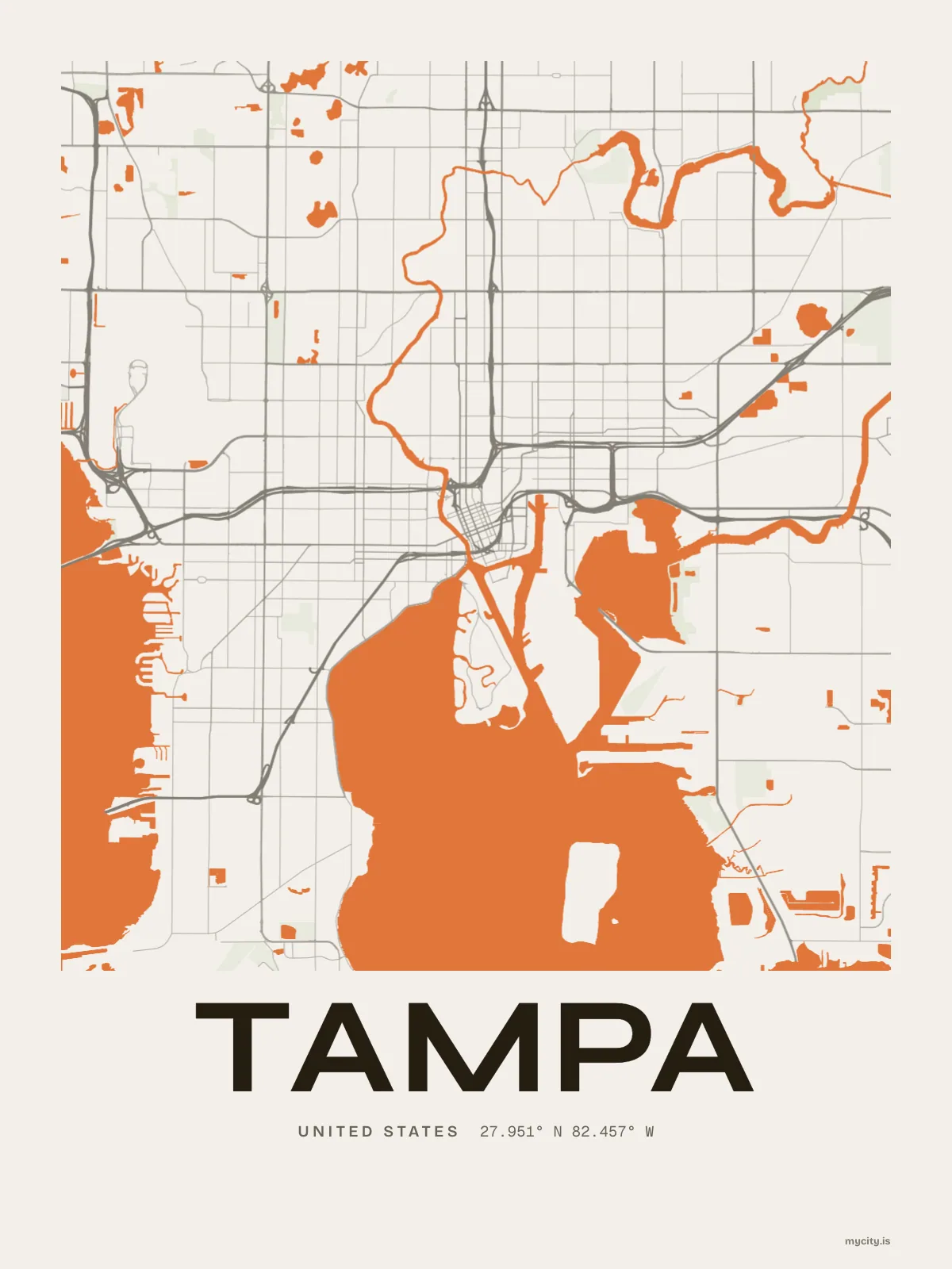
United StatesNorth America
my city isTampa
Between two bays, with cigar-factory streets and palms at the edge of their range.
27.9506° N 82.4572° W
Neighbourhoods
- Ybor City
- Forest Hills
- Ballast Point
- Sulphur Springs
- Seminole Heights
- Tampa Heights
- Palma Ceia
- Hyde Park
- Davis Islands
- Harbour Island
- Tampa Palms
- College Hill
- West Tampa
- New Tampa
- Bayshore Beautiful
- Beach Park
- Port Tampa
- Riverside Heights
- Sunset Park
- Old Seminole Heights
- Culbreath Isles
- Palmetto Beach
- Lowry Park North
- Virginia Park
the sun over Tampa
27.95° N · Sun Path
Longest day 13 h 55 · shortest 10 h 20
Tampa, Sun Path · The ChartThe lines
Tampa, in our lines
Our lines, made for Tampa: on a print, a tee, a hoodie or a mug.
In words
Tampa, word for word
From Tampa's own names, set in the city's type: its neighbourhoods, the sentence and its name built big. Each one a print you can make yours.
About Tampa
A Cuban sandwich with salami in it, deviled crab, and bay on two sides. Tampa grew fast when the railroad and the cigar factories arrived, and it is still Cigar City.
Ready to buy · ships to United States
Tampa, framed or worn
01 · 5 designs
North, south, east, west
Tampa, measured: the distance to somewhere else, its year, month by month and how far it is to everywhere else. Most of its streets run north–south or east–west.
See all 5 designsShow fewer
Loading
02 · 6 designs
Every street, named
Tampa in words: the sentence, finished, every neighbourhood run together and its name built big. Bayshore Boulevard runs longest through the middle of town.
See all 6 designsShow fewer
Loading
03 · 7 date designs
Mark the day
A day in Tampa, set like an invitation and signed 27.951° N, 82.457° W: the day you moved, married, met or arrived. You write the words.
See all 7 datesShow fewer
Loading
Ways in
A day in Tampa, set up to keep.
Each one has the words, a pin, a date and a style already in place for Tampa. Open it, then make every part yours.