Loading
United StatesNorth America
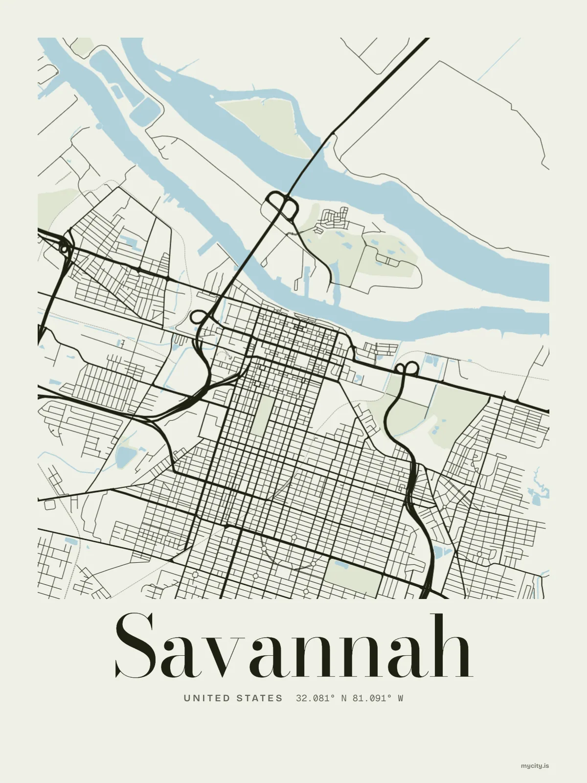
my city isSavannah
Twenty-two squares on an old town plan, under live oaks, upriver from the sea.
32.0809° N 81.0912° W
Neighbourhoods
- Victorian District
- Cuyler–Brownville
- Thomas Square
- Pin Point
- Ardsley Park
- Chatham Crescent
- Midtown
- Southside
- Eastside
- Westside
- Isle of Hope
- Beaulieu
the sun over Savannah
32.08° N · Sun Path
Longest day 14 h 15 · shortest 10 h 05
Savannah, Sun Path · The ChartThe lines
Savannah, in our lines
The lines we draw for every city, set in Savannah's colours and type.
In words
Savannah, in its own words
From Savannah's own names, set in the city's type: its neighbourhoods, its streets from A to Z and the sentence. Each one a print you can make yours.
About Savannah
Live oaks over the squares, a thunderstorm on a summer afternoon, and a town plan you can still walk. Savannah was once called the Forest City, and the oaks are why.
Ready to buy · ships to United States
Savannah: its map and its name
01 · 6 designs
A grid turned 15°
Savannah, measured: the distance to somewhere else, its year, month by month and how far it is to everywhere else. Most of its streets run on a grid turned about 15° off north.
See all 6 designsShow fewer
Loading
02 · 7 designs
Every street, named
Savannah in words: the sentence, finished, every neighbourhood run together and its name built big. East Victory Drive runs longest through the middle of town.
See all 7 designsShow fewer
Loading
03 · 7 date designs
The day it started
Signed 32.081° N, 81.091° W and set like an invitation: the day you arrived in Savannah, married there or moved away. You write the words.
See all 7 datesShow fewer
Loading
Ways in
Begin with a day in Savannah.
Each one has the words, a pin, a date and a style already in place for Savannah. Open it, then make every part yours.