Loading

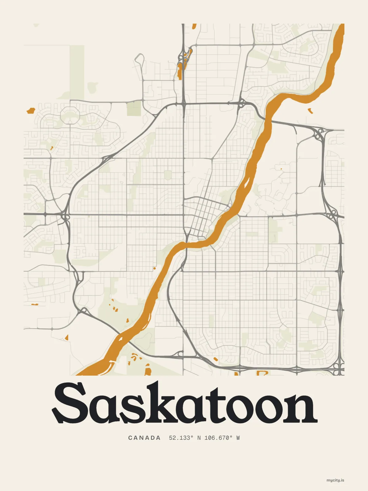
CanadaNorth America
my city isSaskatoon
A river through the middle of town, a city of bridges, and sky in every direction.
52.1332° N 106.6700° W
Neighbourhoods
- Nutana
- Riversdale
- Caswell Hill
- City Park
- Varsity View
- Buena Vista
- Haultain
- Mayfair
- Westmount
- King George
- Pleasant Hill
- Sutherland
- Lawson Heights
- Grosvenor Park
- Queen Elizabeth
- Exhibition
the sun over Saskatoon
52.13° N · Sun Path
Longest day 16 h 45 · shortest 7 h 45
Saskatoon, Sun Path · The ChartThe lines
Saskatoon, in our lines
Our lines, made for Saskatoon: on a print, a tee, a hoodie or a mug.
In words
Saskatoon, in its own words
From Saskatoon's own names, set in the city's type: its neighbourhoods, its streets from A to Z and the sentence. Each one a print you can make yours.
About Saskatoon
A morning run along the riverbank, a long drive home under an enormous sky, and a berry pie that tastes like July. Saskatoon is a prairie city that grew up around its river.
Ready to buy · ships to United States
Saskatoon, framed or worn
01 · 6 designs
North, south, east, west
Saskatoon, measured: the distance to somewhere else, its year, month by month and how far it is to everywhere else. Most of its streets run north–south or east–west.
See all 6 designsShow fewer
Loading
02 · 7 designs
Sixteen of its neighbourhoods
Saskatoon in words: the sentence, finished, every neighbourhood run together and its name built big. Spadina Crescent runs longest through the middle of town.
See all 7 designsShow fewer
Loading
03 · 7 date designs
Keep the date
Signed 52.133° N, 106.670° W and set like an invitation: the day you arrived in Saskatoon, married there or moved away. You write the words.
See all 7 datesShow fewer
Loading
04 · 14 designs to wear and use
Out and about
Saskatoon on tees and mugs, made for you.
Ways in
A day in Saskatoon, set up to keep.
Each one has the words, a pin, a date and a style already in place for Saskatoon. Open it, then make every part yours.