Loading
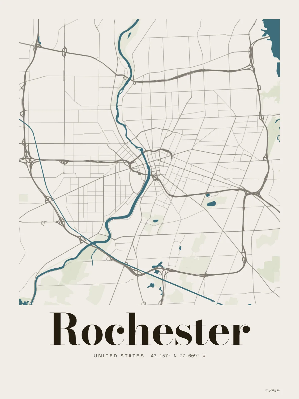
United StatesNorth America
my city isRochester
A river through the middle of town, and one of the Great Lakes for a north shore.
43.1566° N 77.6088° W
Neighbourhoods
- 19th Ward
- Beechwood
- Browncroft
- Charlotte
- Cobbs Hill
- Corn Hill
- Dutchtown
- Edgerton
- High Falls
- Highland Park
- Homestead Heights
- Lincoln Park
- Lyell-Otis
- Maplewood
- Marketview Heights
- Mayor's Heights
- Monroe Village
- North Winton Village
- Park Avenue
- South Wedge
- Swillburg
- Upper Monroe
- Upper Mount Hope
- Susan B. Anthony
Constellation
the neighbourhoods of Rochester
20 places, joined nearest to nearest
Ring yoursThe lines
Rochester, in our lines
Each of our lines, drawn again for Rochester, for a wall or for a chest.
In words
Rochester, spelled out
From Rochester's own names, set in the city's type: its neighbourhoods, its streets from A to Z and the sentence. Each one a print you can make yours.
About Rochester
A white hot at a summer cookout, a hundred inches of snow in winter, and hills the ice left along the south side. Rochester has been the Flour City and the Flower City, and it answers to both.
Ready to buy · ships to United States
Rochester, printed for the wall and the street
01 · 6 designs
North, south, east, west
Rochester, measured: the distance to somewhere else, its year, month by month and how far it is to everywhere else. Most of its streets run north–south or east–west.
See all 6 designsShow fewer
Loading
02 · 7 designs
Name by name
Rochester in words: the sentence, finished, every neighbourhood run together and its name built big. Joseph Avenue runs longest through the middle of town.
See all 7 designsShow fewer
Loading
03 · 7 date designs
A date of your own
The day that made Rochester yours, set like an invitation and signed with its coordinates, 43.157° N, 77.609° W. You write the words.
See all 7 datesShow fewer
Loading
04 · 14 designs to wear and use
Rochester, worn
Rochester on tees and mugs, made for you.
Ways in
Start from a moment in Rochester.
Each one has the words, a pin, a date and a style already in place for Rochester. Open it, then make every part yours.