Loading
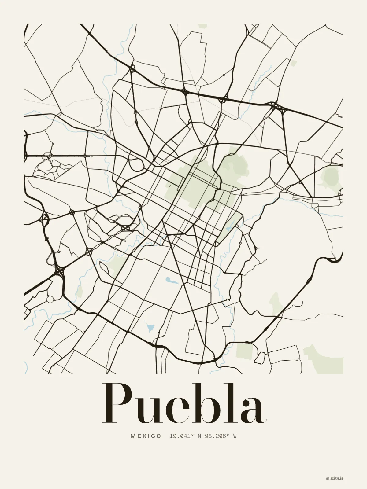
MexicoLatin America
my city isPuebla
A long colonial grid on a wide plain, with big mountains on the skyline.
19.0414° N 98.2063° W
Puebla towns
- Las Ánimas
- El Vergel
- La Margarita
- Estrellas del Sur
- Tres Cruces
- Loma Encantada
- San Francisco Totimehuacán
- San Sebastián de Aparicio
- Lomas de San Miguel
- La Joya del Sur
- Universitaria
11 towns · Puebla
In words
Puebla, in its own words
From Puebla's own names, set in the city's type: its towns, its streets from A to Z and the sentence. Each one a print you can make yours.
The lines
Puebla, in our lines
Each of our lines, drawn again for Puebla, for a wall or for a chest.
About Puebla
Straight streets in a long grid, painted tiles on old fronts, and mountains standing far off on the skyline. Puebla is a state capital laid out on a plain, with a cooking and pottery tradition of its own.
Ready to buy · ships to United States
Puebla, for the wall and the wardrobe
01 · 6 designs
A grid turned 30°
Puebla, measured: the distance to somewhere else, its year, month by month and how far it is to everywhere else. Most of its streets run on a grid turned about 30° off north.
See all 6 designsShow fewer
Loading
02 · 7 designs
Eleven towns, by name
Puebla in words: the sentence, finished, every town run together and its name built big. Boulevard Héroes del 5 de Mayo runs longest through the middle of town.
See all 7 designsShow fewer
Loading
03 · 7 date designs
Make a day of it
Signed 19.041° N, 98.206° W and set like an invitation: the day you arrived in Puebla, married there or moved away. You write the words.
See all 7 datesShow fewer
Loading
Ways in
A day in Puebla, set up to keep.
Each one has the words, a pin, a date and a style already in place for Puebla. Open it, then make every part yours.