Loading
NorwayEurope
my city isOslo
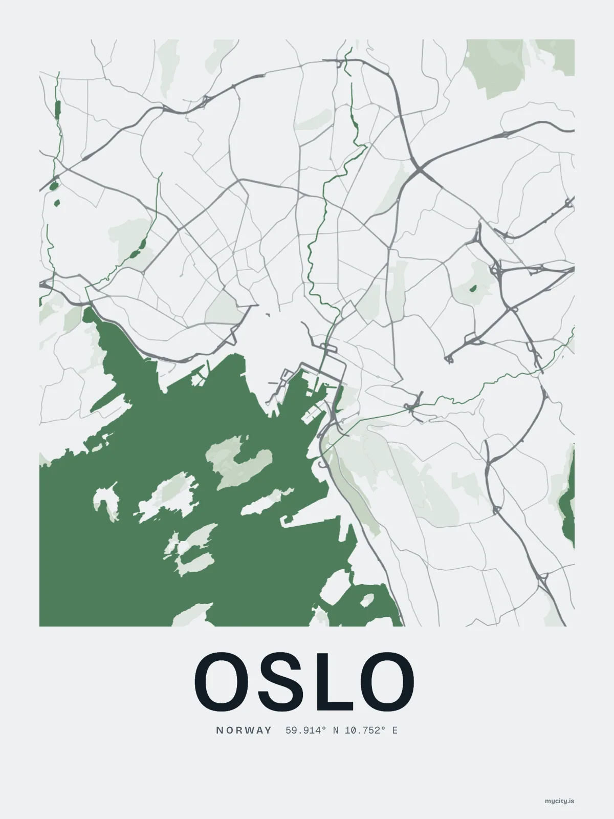
A river through the middle, a fjord at the bottom, and forest at the top.
59.9139° N 10.7522° E
Neighbourhoods
- Grünerløkka
- Bjørvika
- Tøyen
- Grønland
- Gamlebyen
- Sofienberg
- St. Hanshaugen
- Bislett
- Majorstuen
- Frogner
- Kampen
- Sagene
- Torshov
- Rodeløkka
- Fagerborg
- Tjuvholmen
- Sørenga
- Kvadraturen
the sun over Oslo
59.91° N · Sun Path
Longest day 18 h 50 · shortest 5 h 55
Oslo, Sun Path · The ChartThe lines
Oslo, in our lines
Each of our lines, drawn again for Oslo, for a wall or for a chest.
In words
Oslo, spelled out
From Oslo's own names, set in the city's type: its neighbourhoods, its streets from A to Z and the sentence. Each one a print you can make yours.
About Oslo
A swim off the harbour promenade in June, skis on the metro in January, and a river walk that goes from waterfalls to the fjord. Oslo is a city with the woods at the end of the line.
Ready to buy · ships to United States
Oslo, by the street and by the letter
01 · 7 date designs
Since the day
A day in Oslo, set like an invitation and signed 59.914° N, 10.752° E: the day you moved, married, met or arrived. You write the words.
See all 7 datesShow fewer
Loading
02 · 5 designs
Every which way
Oslo, measured: the distance to somewhere else, its year, month by month and how far it is to everywhere else. There's no grid: its streets run every which way.
See all 5 designsShow fewer
Loading
03 · 7 designs
Eighteen of its neighbourhoods
Oslo in words: the sentence, finished, every neighbourhood run together and its name built big. Kirkeveien runs longest through the middle of town.
See all 7 designsShow fewer
Loading
Ways in
A day in Oslo, set up to keep.
Each one has the words, a pin, a date and a style already in place for Oslo. Open it, then make every part yours.