Loading
United StatesNorth America
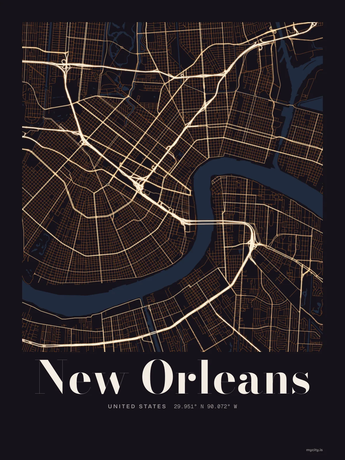
my city isNew Orleans
A bend in the river, iron balconies, and a brass band around the next corner.
29.9511° N 90.0715° W
Neighbourhoods
- French Quarter
- Faubourg Marigny
- Bywater
- Tremé
- Mid-City
- Garden District
- Lower Garden District
- Irish Channel
- Uptown
- Carrollton
- Gentilly
- Algiers Point
- Central City
- Broadmoor
- St. Roch
the sun over New Orleans
29.95° N · Sun Path
Longest day 14 h 05 · shortest 10 h 15
New Orleans, Sun Path · The ChartThe lines
New Orleans, in our lines
The lines we draw for every city, set in New Orleans's colours and type.
In words
New Orleans, in its own words
From New Orleans's own names, set in the city's type: its neighbourhoods, its streets from A to Z and the sentence. Each one a print you can make yours.
About New Orleans
Shotgun houses painted every colour, a second line on a Sunday afternoon, and a po'boy that ruins all other sandwiches. New Orleans is a city that turns an ordinary day into a parade.
Ready to buy · ships to United States
New Orleans, framed or worn
01 · 7 designs
Fifteen neighbourhoods, one by one
New Orleans in words: the sentence, finished, every neighbourhood run together and its name built big. South Claiborne Avenue runs longest through the middle of town.
See all 7 designsShow fewer
Loading
02 · 6 designs
Counted and measured
New Orleans, measured: the distance to somewhere else, its year, month by month and how far it is to everywhere else. Houston is 318 mi away, as the crow flies.
See all 6 designsShow fewer
Loading
03 · 7 date designs
A date of your own
The day that made New Orleans yours, set like an invitation and signed with its coordinates, 29.951° N, 90.072° W. You write the words.
See all 7 datesShow fewer
Loading
04 · 14 designs to wear and use
Out and about
New Orleans on tees and mugs, made for you.
Ways in
A day in New Orleans, set up to keep.
Each one has the words, a pin, a date and a style already in place for New Orleans. Open it, then make every part yours.