Loading
Saint MartinLatin America
my city isMarigot
A harbour town between a bay and a salt pond, with a fort on the hill.
18.0707° N 63.0848° W
Neighbourhoods
- Concordia
- Sandy Ground
- Agrément
- Galisbay
- Saint-Louis
- Bellevue
- Morne Valois
- Baie Nettlé
- Rambaud
Constellation
the neighbourhoods of Marigot
24 places, joined nearest to nearest
Ring yoursThe lines
Marigot, in our lines
Each of our lines, drawn again for Marigot, for a wall or for a chest.
In words
Marigot, in its own words
From Marigot's own names, set in the city's type: its streets from A to Z, the sentence and its name built big. Each one a print you can make yours.
About Marigot
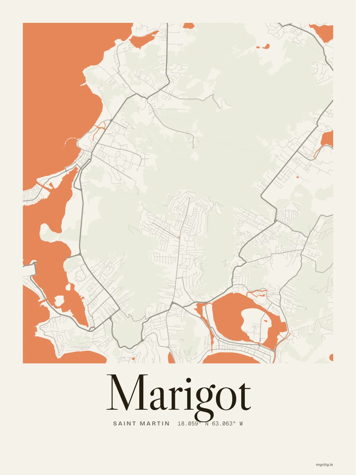
A curve of bay on one side, a wide salt pond on the other, and a small fort on the hill above the waterfront. Marigot is the capital of the French side, a small town on a thin strip of land.
Ready to buy · ships to United States
Marigot, mapped and lettered
01 · 6 designs
Every which way
Marigot, measured: the distance to somewhere else, its year, month by month and how far it is to everywhere else. There's no grid: its streets run every which way.
See all 6 designsShow fewer
Loading
02 · 7 designs
Nine neighbourhoods, one by one
Marigot in words: the sentence, finished, every neighbourhood run together and its name built big. Airport Road runs longest through the middle of town.
See all 7 designsShow fewer
Loading
03 · 7 date designs
Note the day
The day that made Marigot yours, set like an invitation and signed with its coordinates, 18.071° N, 63.085° W. You write the words.
See all 7 datesShow fewer
Loading
Ways in
Start from a moment in Marigot.
Each one has the words, a pin, a date and a style already in place for Marigot. Open it, then make every part yours.