Loading
United StatesNorth America
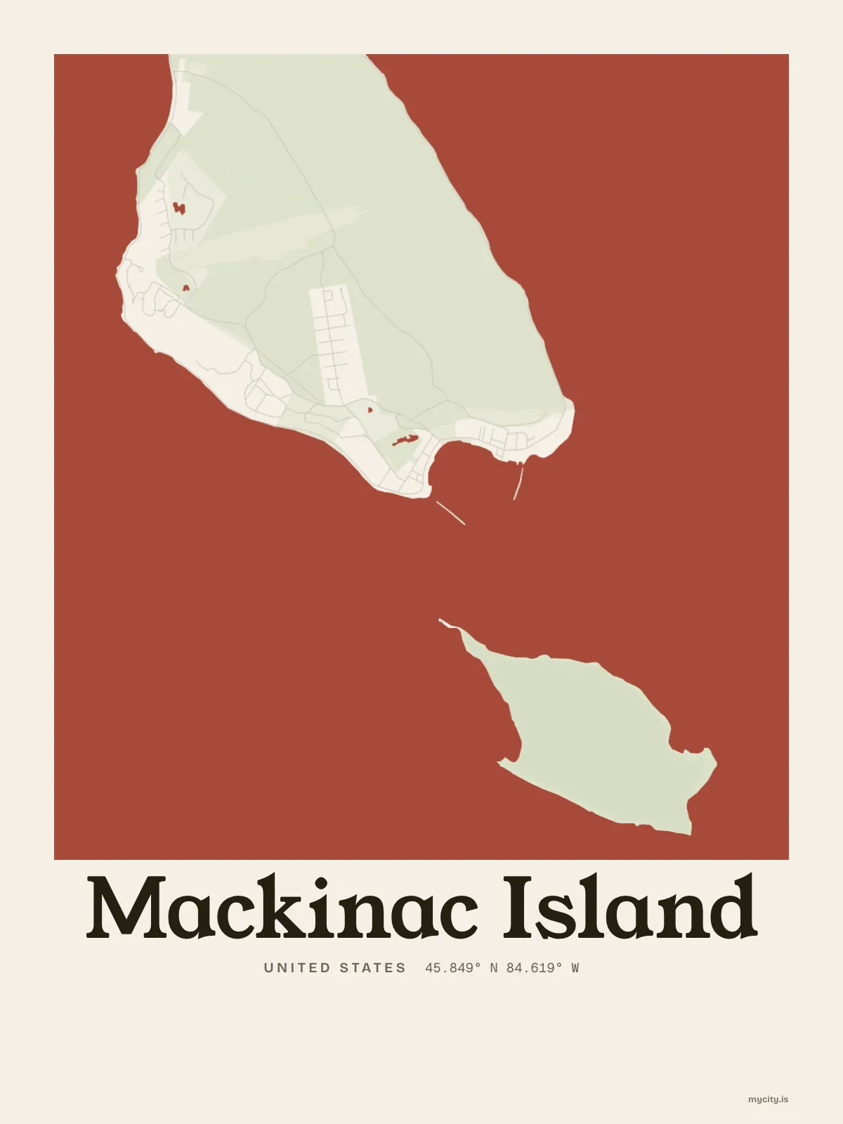
my city isMackinac Island
An island about eight miles round in the straits, getting by without cars.
45.8492° N 84.6189° W
the sun over Mackinac Island
45.85° N · Sun Path
Longest day 15 h 45 · shortest 8 h 40
Mackinac Island, Sun Path · The ChartThe lines
Mackinac Island, in our lines
The lines we draw for every city, set in Mackinac Island's colours and type.
In words
Mackinac Island, set in type
From Mackinac Island's own names, set in the city's type: its streets from A to Z, the sentence and its name built big. Each one a print you can make yours.
About Mackinac Island
Bicycles, carriages and the clip of horses on the street, fudge cooling on marble, and limestone cliffs above the water. Mackinac Island takes its name, through French and English, from the Anishinaabe for Big Turtle.
Ready to buy · ships to United States
Mackinac Island in maps and words, to keep
01 · 6 designs
Every which way
Mackinac Island, measured: the distance to somewhere else, its year, month by month and how far it is to everywhere else. There's no grid: its streets run every which way.
See all 6 designsShow fewer
Loading
02 · 5 designs
Name by name
Mackinac Island in words: the sentence, finished, its name built big and its streets in order. Lake Shore Boulevard runs longest through the middle of town.
See all 5 designsShow fewer
Loading
03 · 7 date designs
Since the day
A day in Mackinac Island, set like an invitation and signed 45.849° N, 84.619° W: the day you moved, married, met or arrived. You write the words.
See all 7 datesShow fewer
Loading
04 · 14 designs to wear and use
Out and about
Mackinac Island on tees and mugs, made for you.
Ways in
Start from a moment in Mackinac Island.
Each one has the words, a pin, a date and a style already in place for Mackinac Island. Open it, then make every part yours.