Loading
IndiaAsia
my city isKolkata
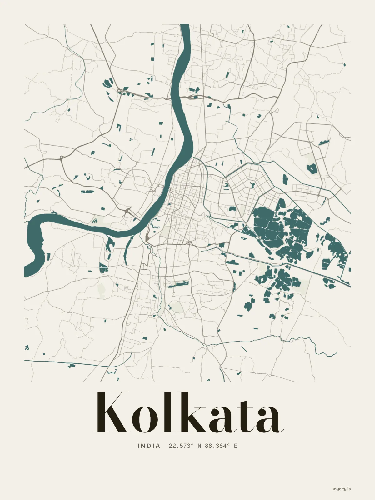
A wide river, a steel bridge across it, and old streets crowding the east bank.
22.5726° N 88.3639° E
Neighbourhoods
- Bowbazar
- Jorasanko
- Bara Bazar
- Shobha Bazar
- Bag Bazar
- Shyam Bazar
- Sealdah
- Esplanade
- Maniktala
- Tal Tala
- Beniapukur
- Entali
Constellation
the neighbourhoods of Kolkata
24 places, joined nearest to nearest
Ring yoursThe lines
Kolkata, in our lines
Our lines, made for Kolkata: on a print, a tee, a hoodie or a mug.
In words
Kolkata, word for word
From Kolkata's own names, set in the city's type: its neighbourhoods, its streets from A to Z and the sentence. Each one a print you can make yours.
About Kolkata
Old streets crowding the east bank of the Hooghly, a big open green at the heart of the city, and a cantilever bridge carrying traffic over to Howrah. Kolkata is the capital of West Bengal, a river city built close and dense.
Ready to buy · ships to United States
Kolkata, drawn and written out
01 · 6 designs
A grid turned 10°
Kolkata, measured: the distance to somewhere else, its year, month by month and how far it is to everywhere else. Most of its streets run on a grid turned about 10° off north.
See all 6 designsShow fewer
Loading
02 · 7 designs
Twelve of its neighbourhoods
Kolkata in words: the sentence, finished, every neighbourhood run together and its name built big. Strand Road runs longest through the middle of town.
See all 7 designsShow fewer
Loading
03 · 7 date designs
Keep the date
A day in Kolkata, set like an invitation and signed 22.573° N, 88.364° E: the day you moved, married, met or arrived. You write the words.
See all 7 datesShow fewer
Loading
04 · 14 designs to wear and use
Carry it with you
Kolkata on tees and mugs, made for you.
Ways in
A day in Kolkata, set up to keep.
Each one has the words, a pin, a date and a style already in place for Kolkata. Open it, then make every part yours.