Loading
GuatemalaLatin America
my city isGuatemala City
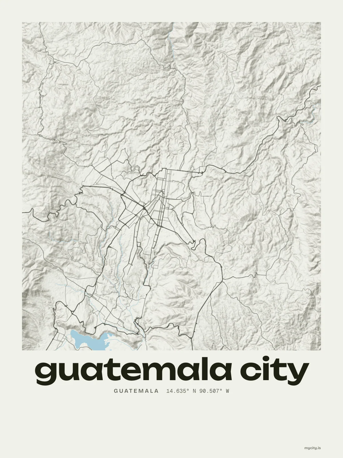
A high valley floor cut by deep ravines, and mountains on the skyline.
14.6349° N 90.5069° W
Neighbourhoods
- Centro Histórico
- Barrio Gerona
- Barrio Moderno
- Barrio San Pedrito
- Colonia La Palmita
- Colonia Arrivillaga
- Jardines de la Asunción
- Colonia Santa Ana
- Colonia Vivibien
- Colonia Abril
- Colonia Saravia
Constellation
the neighbourhoods of Guatemala City
24 places, joined nearest to nearest
Ring yoursThe lines
Guatemala City, in our lines
The lines we draw for every city, set in Guatemala City's colours and type.
In words
Guatemala City, spelled out
From Guatemala City's own names, set in the city's type: its neighbourhoods, the sentence and its name built big. Each one a print you can make yours.
About Guatemala City
Flat ridges divided by steep green ravines, a long grid across the valley floor, and mountains closing the view. Guatemala City is the national capital, laid over an ancient Maya site.
Ready to buy · ships to United States
Guatemala City, framed or worn
01 · 6 designs
Eleven of its neighbourhoods
Guatemala City in words: the sentence, finished, every neighbourhood run together and its name built big. 6a Avenida runs longest through the middle of town.
See all 6 designsShow fewer
Loading
02 · 6 designs
Along 14° north
Guatemala City, measured: the distance to somewhere else, its year, month by month and how far it is to everywhere else. San Salvador is 174 km away, as the crow flies.
See all 6 designsShow fewer
Loading
03 · 7 date designs
A date of your own
The day that made Guatemala City yours, set like an invitation and signed with its coordinates, 14.635° N, 90.507° W. You write the words.
See all 7 datesShow fewer
Loading
04 · 14 designs to wear and use
Carry it with you
Guatemala City on tees and mugs, made for you.
Ways in
A day in Guatemala City, set up to keep.
Each one has the words, a pin, a date and a style already in place for Guatemala City. Open it, then make every part yours.