Loading
United StatesNorth America
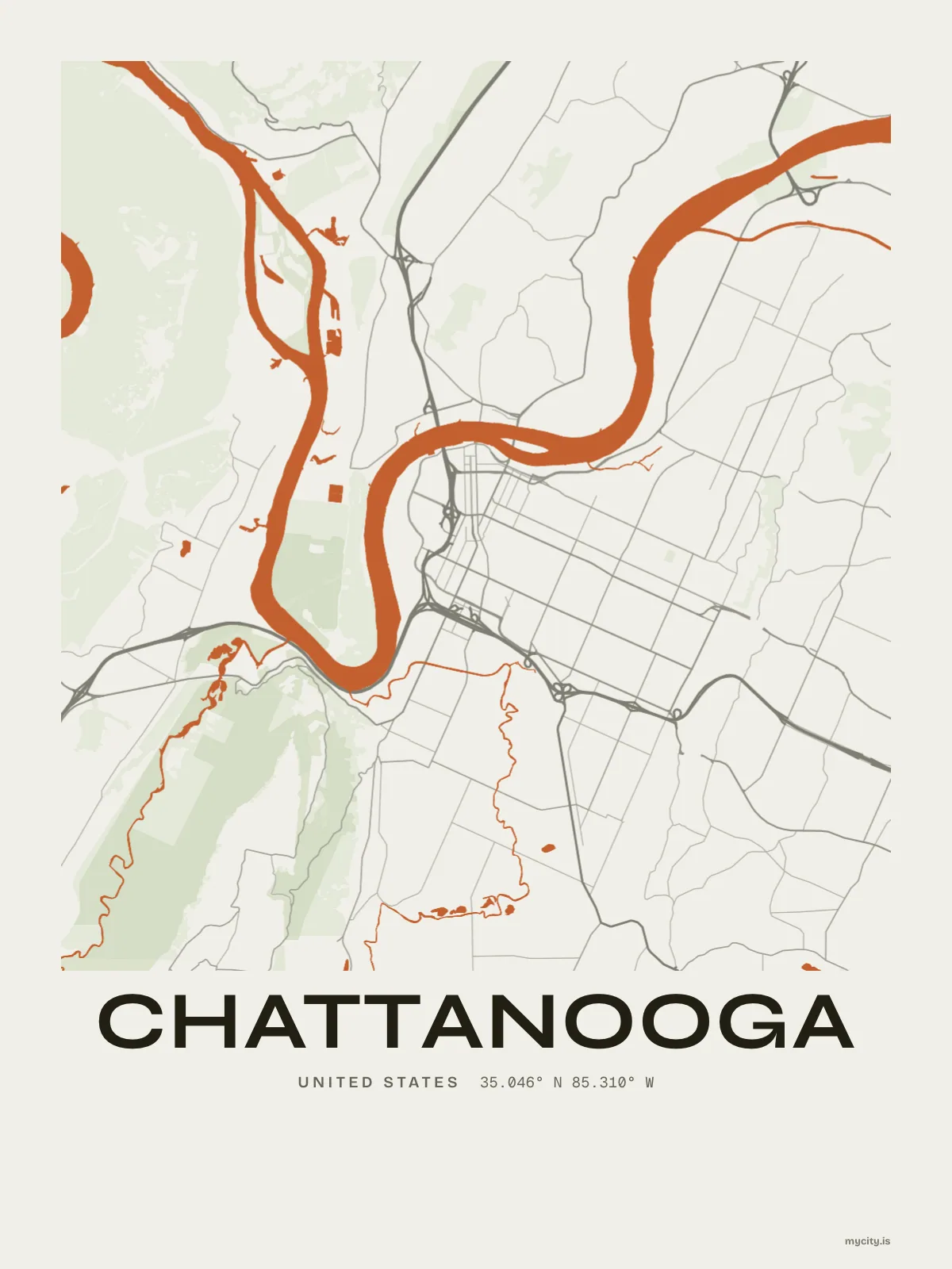
my city isChattanooga
A river city between the ridges, with four bridges downtown.
35.0456° N 85.3097° W
Neighbourhoods
- Ferger Place
- Fort Wood
- St. Elmo
- Battery Place
- Glenwood
- Stringer's Ridge
- Missionary Ridge
- Northshore
- M.L. King
- Highland Park
- Hixson
- Lookout Valley
- Lupton City
- Tyner
- Bluff View
the sun over Chattanooga
35.05° N · Sun Path
Longest day 14 h 30 · shortest 9 h 50
Chattanooga, Sun Path · The ChartThe lines
Chattanooga, in our lines
Each of our lines, drawn again for Chattanooga, for a wall or for a chest.
In words
Chattanooga, in its own words
From Chattanooga's own names, set in the city's type: its neighbourhoods, its streets from A to Z and the sentence. Each one a print you can make yours.
About Chattanooga
Ridges on every side, the Tennessee bending through town, and palms that can take a winter here. Chattanooga was where cotton met corn, between the mountains and the cotton states.
Ready to buy · ships to United States
Chattanooga in maps and words, to keep
01 · 6 designs
A grid turned 25°
Chattanooga, measured: the distance to somewhere else, its year, month by month and how far it is to everywhere else. Most of its streets run on a grid turned about 25° off north.
See all 6 designsShow fewer
Loading
02 · 7 designs
Fifteen neighbourhoods, by name
Chattanooga in words: the sentence, finished, every neighbourhood run together and its name built big. Broad Street runs longest through the middle of town.
See all 7 designsShow fewer
Loading
03 · 7 date designs
Since the day
The day that made Chattanooga yours, set like an invitation and signed with its coordinates, 35.046° N, 85.310° W. You write the words.
See all 7 datesShow fewer
Loading
04 · 14 designs to wear and use
To wear and use
Chattanooga on tees and mugs, made for you.
Ways in
Start from a moment in Chattanooga.
Each one has the words, a pin, a date and a style already in place for Chattanooga. Open it, then make every part yours.