Loading

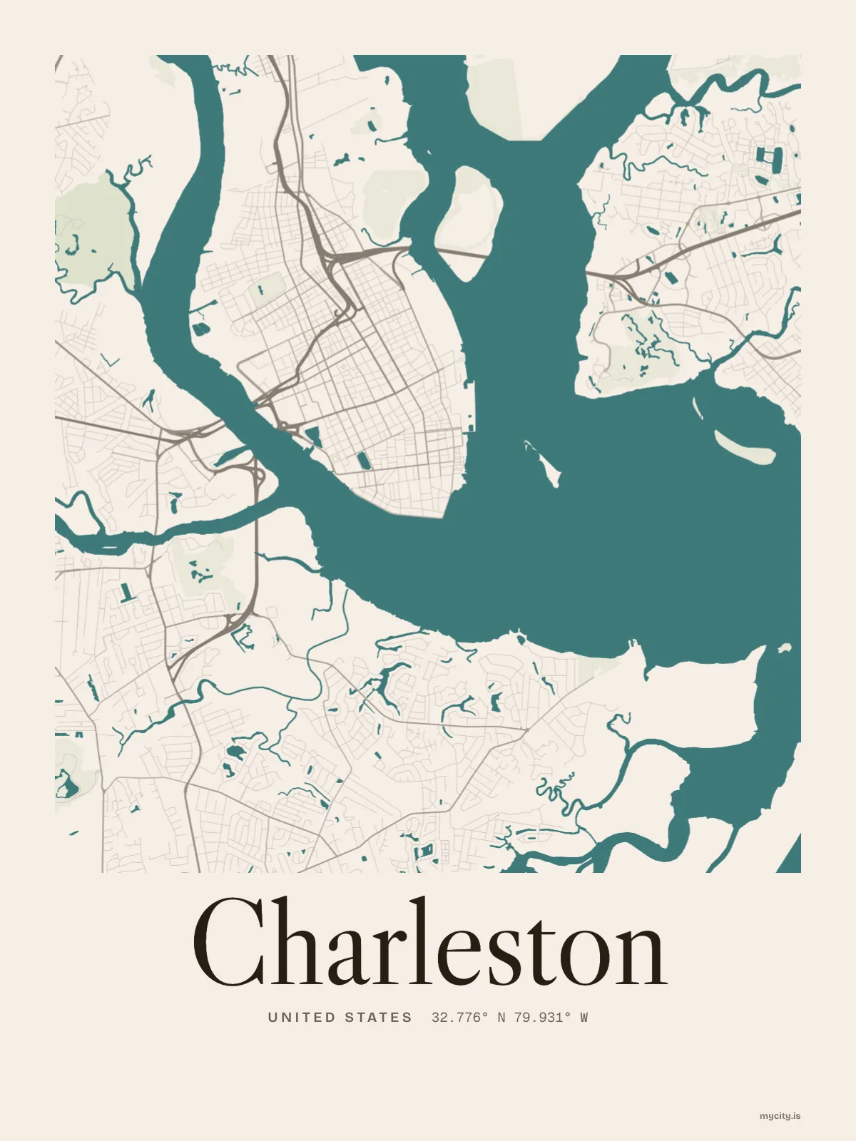
United StatesNorth America
my city isCharleston
On the point where the Ashley and Cooper rivers meet, at the edge of the tide.
32.7765° N 79.9311° W
Neighbourhoods
- Ansonborough
- French Quarter
- Hampton Park Terrace
- Wagener Terrace
- Riverland Terrace
- Hampstead Village
- Wilson's Farm
- West Ashley
- Daniel Island
- James Island
- Johns Island
- Cainhoy
- The Peninsula
the sun over Charleston
32.78° N · Sun Path
Longest day 14 h 20 · shortest 10 h 00
Charleston, Sun Path · The ChartThe lines
Charleston, in our lines
Our lines, made for Charleston: on a print, a tee, a hoodie or a mug.
In words
Charleston, set in type
From Charleston's own names, set in the city's type: its neighbourhoods, its streets from A to Z and the sentence. Each one a print you can make yours.
About Charleston
She-crab soup, shrimp and grits, and tidal rivers reaching in on every side. Charleston moved to Oyster Point in 1680, and plenty of natives still drop the r: Chalston.
Ready to buy · ships to United States
Charleston, mapped and lettered
01 · 7 designs
Thirteen of its neighbourhoods
Charleston in words: the sentence, finished, every neighbourhood run together and its name built big. Meeting Street runs longest through the middle of town.
See all 7 designsShow fewer
Loading
02 · 6 designs
By the numbers
Charleston, measured: the distance to somewhere else, its year, month by month and how far it is to everywhere else. New York is 639 mi away, as the crow flies.
See all 6 designsShow fewer
Loading
03 · 7 date designs
Keep the date
The day that made Charleston yours, set like an invitation and signed with its coordinates, 32.776° N, 79.931° W. You write the words.
See all 7 datesShow fewer
Loading
04 · 14 designs to wear and use
Carry it with you
Charleston on tees and mugs, made for you.
Ways in
Start from a moment in Charleston.
Each one has the words, a pin, a date and a style already in place for Charleston. Open it, then make every part yours.