Loading

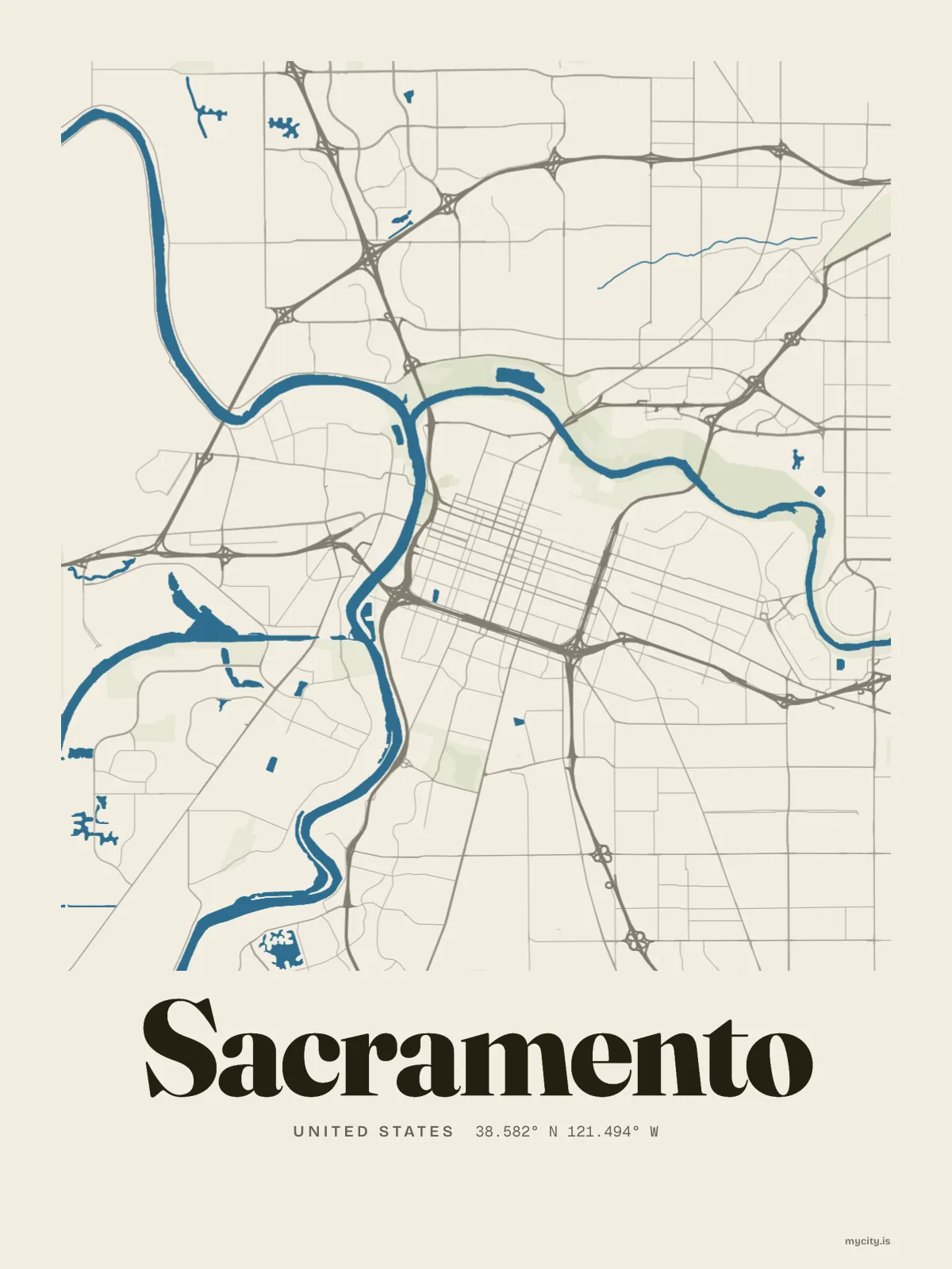
United StatesNorth America
my city isSacramento
Two rivers meeting on flat valley ground, under a canopy of street trees.
38.5816° N 121.4944° W
Neighbourhoods
- Alkali Flat
- Boulevard Park
- East Sacramento
- Mansion Flats
- Midtown
- New Era Park
- McKinley Village
- Newton Booth
- Poverty Ridge
- River Park
- Southside Park
- Land Park
- South Land Park
- Meadowview
- Curtis Park
- Oak Park
- Tahoe Park
- Colonial Heights
- Elmhurst
- Sierra Oaks
- Richmond Grove
- Natomas
- Del Paso Heights
Constellation
the neighbourhoods of Sacramento
23 places, joined nearest to nearest
Ring yoursThe lines
Sacramento, in our lines
Our lines, made for Sacramento: on a print, a tee, a hoodie or a mug.
In words
Sacramento, in its own words
From Sacramento's own names, set in the city's type: its neighbourhoods, its streets from A to Z and the sentence. Each one a print you can make yours.
About Sacramento
Tule fog in December, a delta breeze on summer evenings, and plane trees down every street. Sacramento was the City of Plains before it planted itself into the City of Trees.
Ready to buy · ships to Canada
Sacramento in lines and in letters
01 · 6 designs
A grid turned 10°
Sacramento, measured: the distance to somewhere else, its year, month by month and how far it is to everywhere else. Most of its streets run on a grid turned about 10° off north.
See all 6 designsShow fewer
Loading
02 · 7 designs
Name by name
Sacramento in words: the sentence, finished, every neighbourhood run together and its name built big. Jefferson Boulevard runs longest through the middle of town.
See all 7 designsShow fewer
Loading
03 · 7 date designs
Mark the day
The day that made Sacramento yours, set like an invitation and signed with its coordinates, 38.582° N, 121.494° W. You write the words.
See all 7 datesShow fewer
Loading
Ways in
Start from a moment in Sacramento.
Each one has the words, a pin, a date and a style already in place for Sacramento. Open it, then make every part yours.