Loading
GermanyEurope
my city isRothenburg
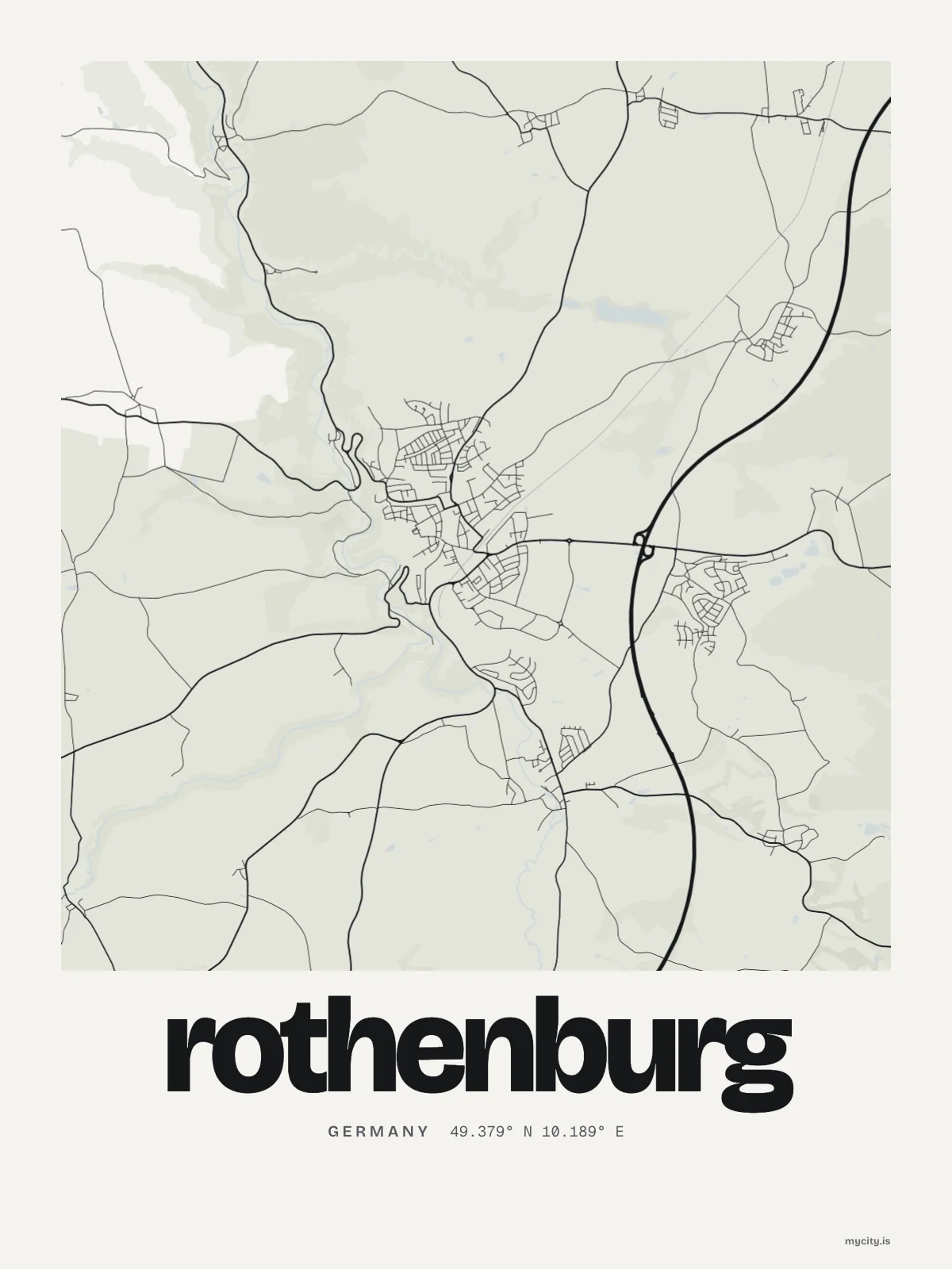
Every street in Rothenburg, drawn from open map data.
49.3791° N 10.1894° E
Constellation
the neighbourhoods of Rothenburg
24 places, joined nearest to nearest
Ring yoursThe lines
Rothenburg, in our lines
Our own lines, set for Rothenburg. Each one comes on what you wear and what you hang.
In words
Rothenburg, word for word
From Rothenburg's own names, set in the city's type: its streets from A to Z, the sentence and its name built big. Each one a print you can make yours.
Ready to buy · ships to Canada
Rothenburg, ready to hang and wear
01 · 5 designs
Street by street
Rothenburg in words: the sentence, finished, its name built big and its streets in order. Taubertalweg runs longest through the middle of town.
See all 5 designsShow fewer
Loading
02 · 6 designs
49° north, to the degree
Rothenburg, measured: the distance to somewhere else, its year, month by month and how far it is to everywhere else. Munich is 172 km away, as the crow flies.
See all 6 designsShow fewer
Loading
03 · 1 date design
Signed and dated
The day that made Rothenburg yours, set like an invitation and signed with its coordinates, 49.379° N, 10.189° E. You write the words.
See all 1 datesShow fewer
Loading
Ways in
Rothenburg, from the day that counts.
Each one has the words, a pin, a date and a style already in place for Rothenburg. Open it, then make every part yours.