Loading
MexicoLatin America
my city isOaxaca
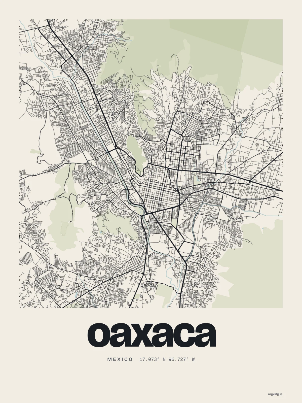
Every street in Oaxaca, drawn from open map data.
17.0732° N 96.7266° W
Constellation
the neighbourhoods of Oaxaca
24 places, joined nearest to nearest
Ring yoursThe lines
Oaxaca, in our lines
Each of our lines, drawn again for Oaxaca, for a wall or for a chest.
In words
Oaxaca, spelled out
From Oaxaca's own names, set in the city's type: its streets from A to Z, the sentence and its name built big. Each one a print you can make yours.
Ready to buy · ships to Canada
Oaxaca, framed or worn
01 · 5 designs
Name by name
Oaxaca in words: the sentence, finished, its name built big and its streets in order. Avenida Símbolos Patrios runs longest through the middle of town.
See all 5 designsShow fewer
Loading
02 · 6 designs
Along 17° north
Oaxaca, measured: the distance to somewhere else, its year, month by month and how far it is to everywhere else. CDMX is 365 km away, as the crow flies.
See all 6 designsShow fewer
Loading
03 · 7 date designs
Since the day
Signed 17.073° N, 96.727° W and set like an invitation: the day you arrived in Oaxaca, married there or moved away. You write the words.
See all 7 datesShow fewer
Loading
Ways in
A day in Oaxaca, set up to keep.
Each one has the words, a pin, a date and a style already in place for Oaxaca. Open it, then make every part yours.