United StatesNorth America
my city isCheyenne
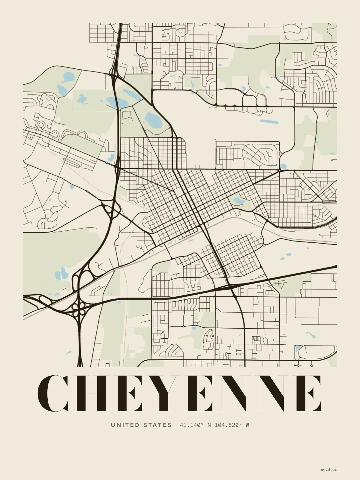
A railway townsite on Crow Creek that grew so fast they called it the Magic City.
41.1400° N 104.8202° W
Neighbourhoods
- Capitol North
- Rainsford
- Lakeview
- South Side
- Orchard Valley
- South Greeley
- Ranchettes
- Fox Farm–College
the sun over Cheyenne
41.14° N · Sun Path
Longest day 15 h 10 · shortest 9 h 10
Cheyenne, Sun Path · The ChartThe lines
Cheyenne, in our lines
Each of our lines, drawn again for Cheyenne, for a wall or for a chest.
In words
Cheyenne, in so many words
From Cheyenne's own names, set in the city's type: its streets from A to Z, the sentence and its name built big. Each one a print you can make yours.
About Cheyenne
Wind off the plains, a chinook to warm the winter, and a town laid out by the Union Pacific in 1867. In Cheyenne, women had the vote in 1869.
Browse now · Orders in Canada open soon
Cheyenne, framed or worn
01 · 10 maps
The map
Cheyenne's streets, drawn eight ways, plus studies of only its roads or green.
See all 10 mapsShow fewer
Loading
02 · 7 designs
Eight neighbourhoods, by name
Cheyenne in words: the sentence, finished, every neighbourhood run together and its name built big. East Pershing Boulevard runs longest through the middle of town.
See all 7 designsShow fewer
Loading
03 · 6 designs
Counted and measured
Cheyenne, measured: the distance to somewhere else, its year, month by month and how far it is to everywhere else. Los Angeles is 881 mi away, as the crow flies.
See all 6 designsShow fewer
Loading
04 · 7 date designs
Keep the date
The day that made Cheyenne yours, set like an invitation and signed with its coordinates, 41.140° N, 104.820° W. You write the words.
See all 7 datesShow fewer
Loading
05 · 14 designs to wear and use
Take it with you
Cheyenne on tees, hoodies, crewnecks and stickers, made for you.
Ways in
A day in Cheyenne, set up to keep.
Each one has the words, a pin, a date and a style already in place for Cheyenne. Open it, then make every part yours.