BelgiumEurope
my city isBrussels
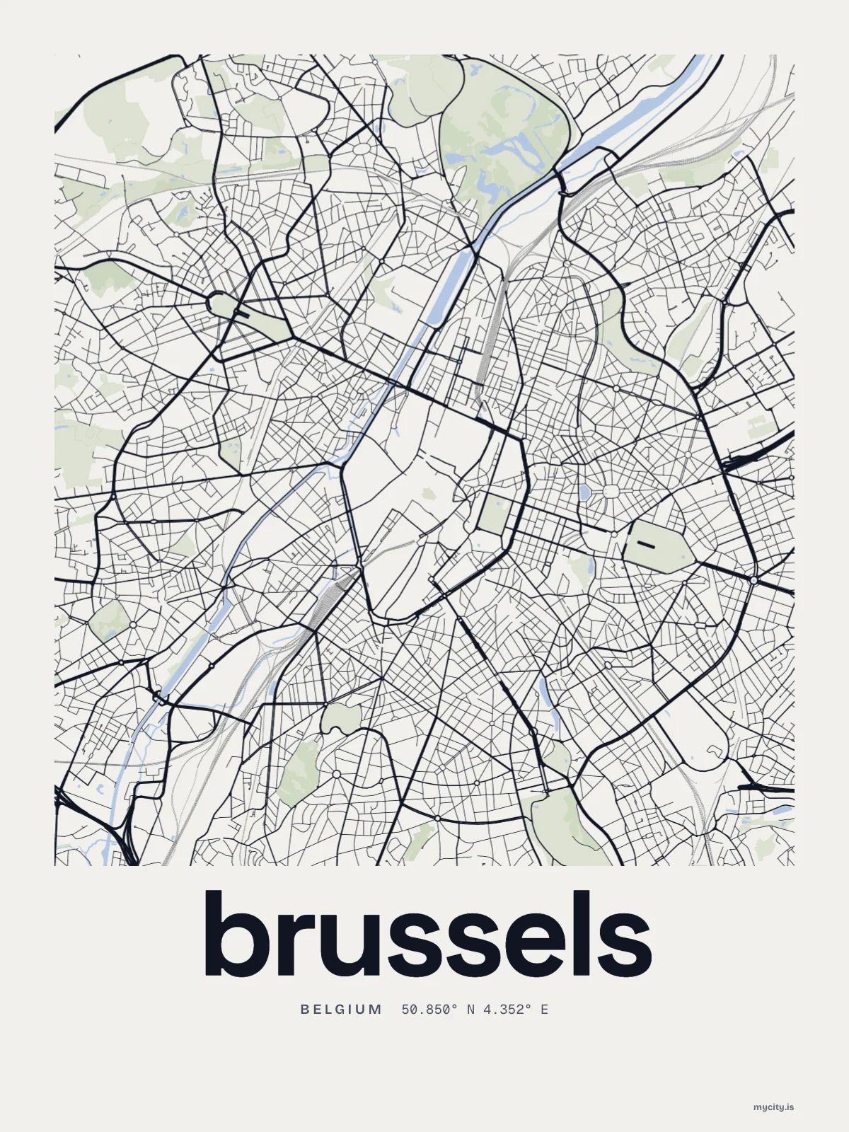
Every street in Brussels, drawn from open map data.
50.8503° N 4.3517° E
the sun over Brussels
50.85° N · Sun Path
Longest day 16 h 30 · shortest 7 h 55
Brussels, Sun Path · The ChartThe lines
Brussels, in our lines
Our lines, made for Brussels: on a print, a tee, a hoodie or a mug.
In words
Brussels, in so many words
From Brussels's own names, set in the city's type: its streets from A to Z, the sentence and its name built big. Each one a print you can make yours.
Browse now · Orders in Canada open soon
Brussels in lines and in letters
01 · 6 maps
Down to the Senne
Brussels's streets, drawn four ways, plus studies of only its roads or green.
See all 6 mapsShow fewer
Loading
02 · 6 designs
Every which way
Brussels, measured: the distance to somewhere else, its year, month by month and how far it is to everywhere else. There's no grid: its streets run every which way.
See all 6 designsShow fewer
Loading
03 · 5 designs
Street by street
Brussels in words: the sentence, finished, its name built big and its streets in order. Avenue Louise - Louizalaan runs longest through the middle of town.
See all 5 designsShow fewer
Loading
04 · 7 date designs
Note the day
Signed 50.850° N, 4.352° E and set like an invitation: the day you arrived in Brussels, married there or moved away. You write the words.
See all 7 datesShow fewer
Loading
05 · 14 designs to wear and use
Carry it with you
Brussels on stickers, tees, crewnecks and hoodies, made for you.
Ways in
Start from a moment in Brussels.
Each one has the words, a pin, a date and a style already in place for Brussels. Open it, then make every part yours.