Loading
AlgeriaAfrica
my city isAlgiers
White buildings stacked above the bay, and the sea at the foot of every slope.
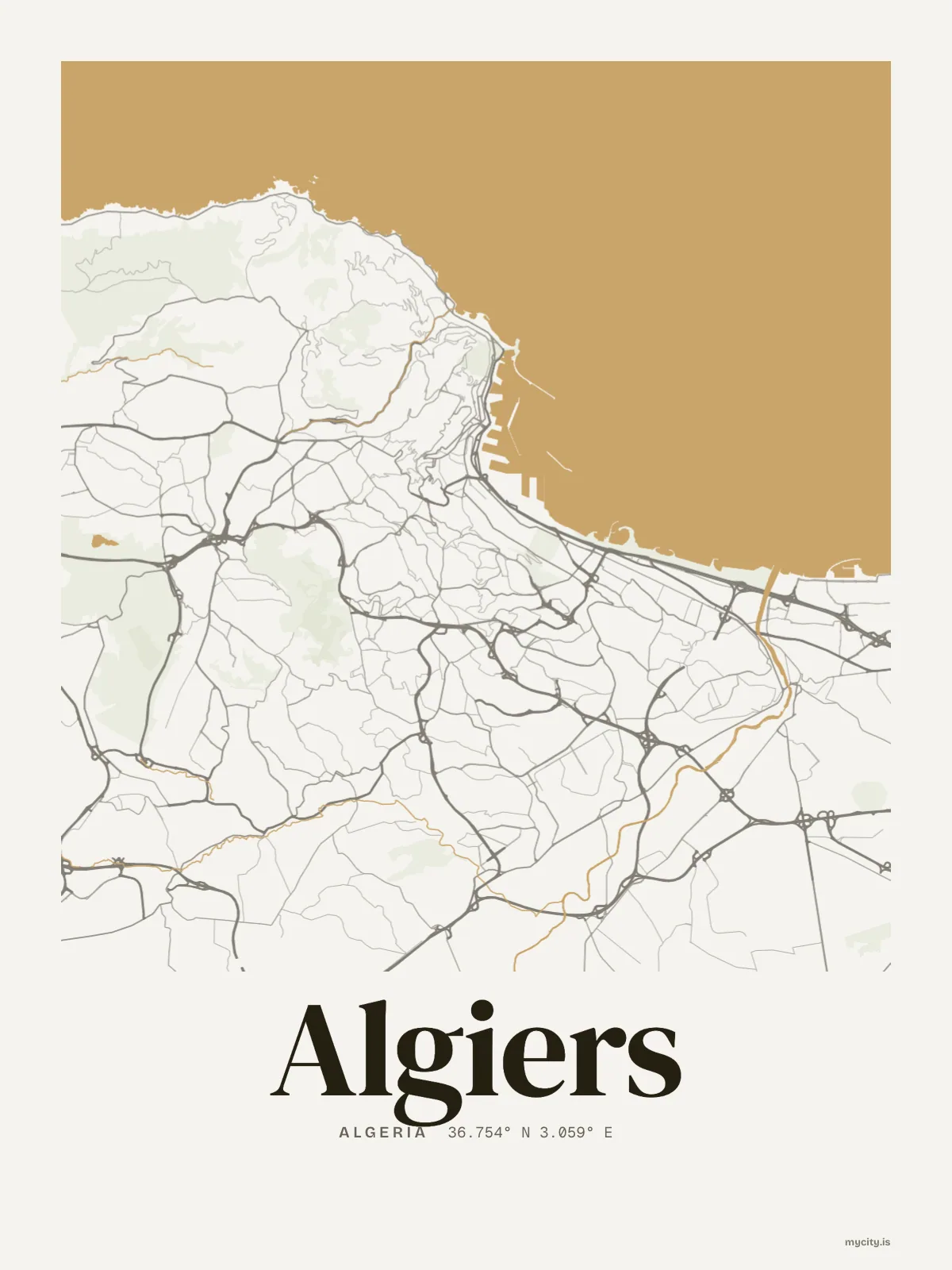
36.7538° N 3.0588° E
Neighbourhoods
- Hydra
- El Mouradia
- Belouizdad
- Agha
- Telemly
- El Madania
- Bir Mourad Raïs
- Meissonier
- Sacré Cœur
- Golf
Constellation
the neighbourhoods of Algiers
18 places, joined nearest to nearest
Ring yoursThe lines
Algiers, in our lines
Each of our lines, drawn again for Algiers, for a wall or for a chest.
In words
Algiers, set in type
From Algiers's own names, set in the city's type: its neighbourhoods, its streets from A to Z and the sentence. Each one a print you can make yours.
About Algiers
Whitewashed buildings climbing the hillside above the bay, and the water showing at the end of every street that runs downhill. Algiers is a capital built on a slope, facing the Mediterranean.
Ready to buy · ships to United States
Algiers in maps and words, to keep
01 · 7 designs
Ten of its neighbourhoods
Algiers in words: the sentence, finished, every neighbourhood run together and its name built big. Boulevard Krim Belkacem runs longest through the middle of town.
See all 7 designsShow fewer
Loading
02 · 6 designs
At 36° north
Algiers, measured: the distance to somewhere else, its year, month by month and how far it is to everywhere else. Madrid is 715 km away, as the crow flies.
See all 6 designsShow fewer
Loading
03 · 7 date designs
Since the day
The day that made Algiers yours, set like an invitation and signed with its coordinates, 36.754° N, 3.059° E. You write the words.
See all 7 datesShow fewer
Loading
Ways in
Start from a moment in Algiers.
Each one has the words, a pin, a date and a style already in place for Algiers. Open it, then make every part yours.