CanadaNorth America
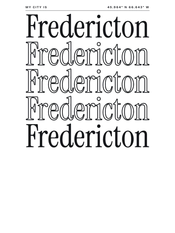
my city isFredericton
A slow river, a tree-shaded green, and an old railway bridge you walk across.
45.9636° N 66.6431° W
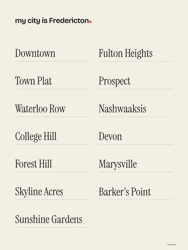
Neighbourhoods
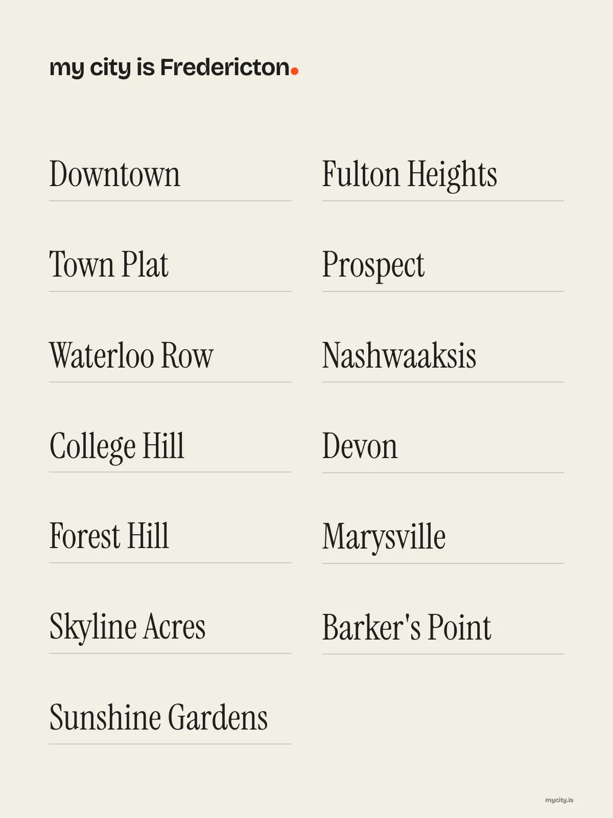
- Downtown
- Town Plat
- Waterloo Row
- College Hill
- Forest Hill
- Skyline Acres
- Sunshine Gardens
- Fulton Heights
- Prospect
- Nashwaaksis
- Devon
- Marysville
- Barker's Point
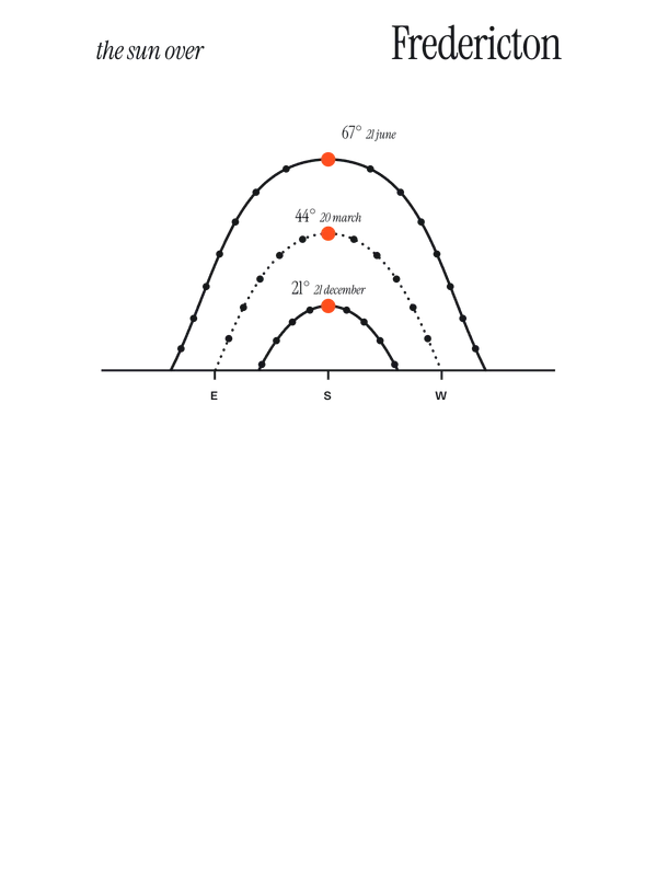
the sun over Fredericton
45.96° N · Sun Path
Longest day 15 h 45 · shortest 8 h 40
Fredericton, Sun Path · The ChartThe lines
Fredericton, in our lines
Our own lines, set for Fredericton. Each one comes on what you wear and what you hang.
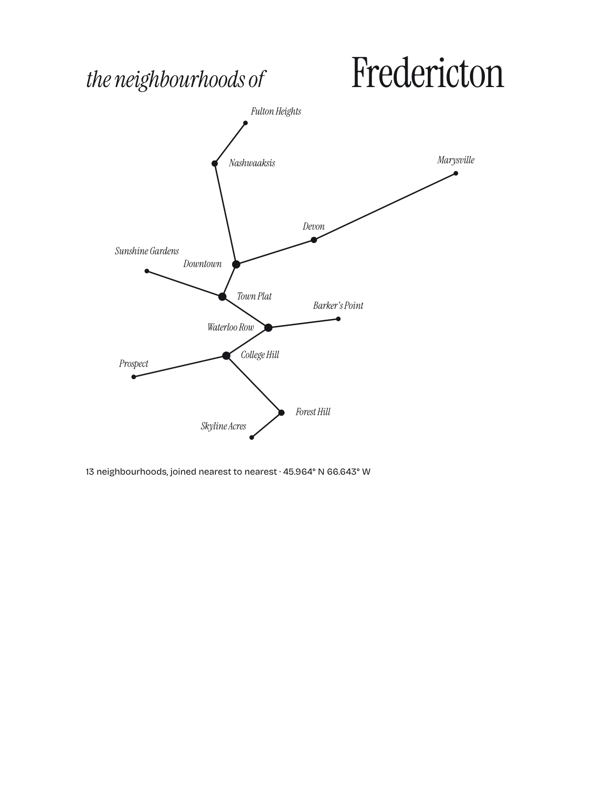
Constellation
Every neighbourhood a star, joined nearest to nearest.






In words
Fredericton, spelled out
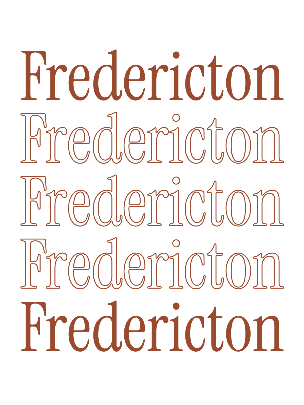
From Fredericton's own names, set in its own type: its neighbourhoods, its streets from A to Z and the sentence. Each one a print you can make yours.

About Fredericton
A morning walk over the old rail bridge, a farmers' market on Saturday, and a riverbank lit up in fall colours. Fredericton is a small capital that never rushes.
Browse now · Orders in Australia open soon
Fredericton, drawn and spelled out
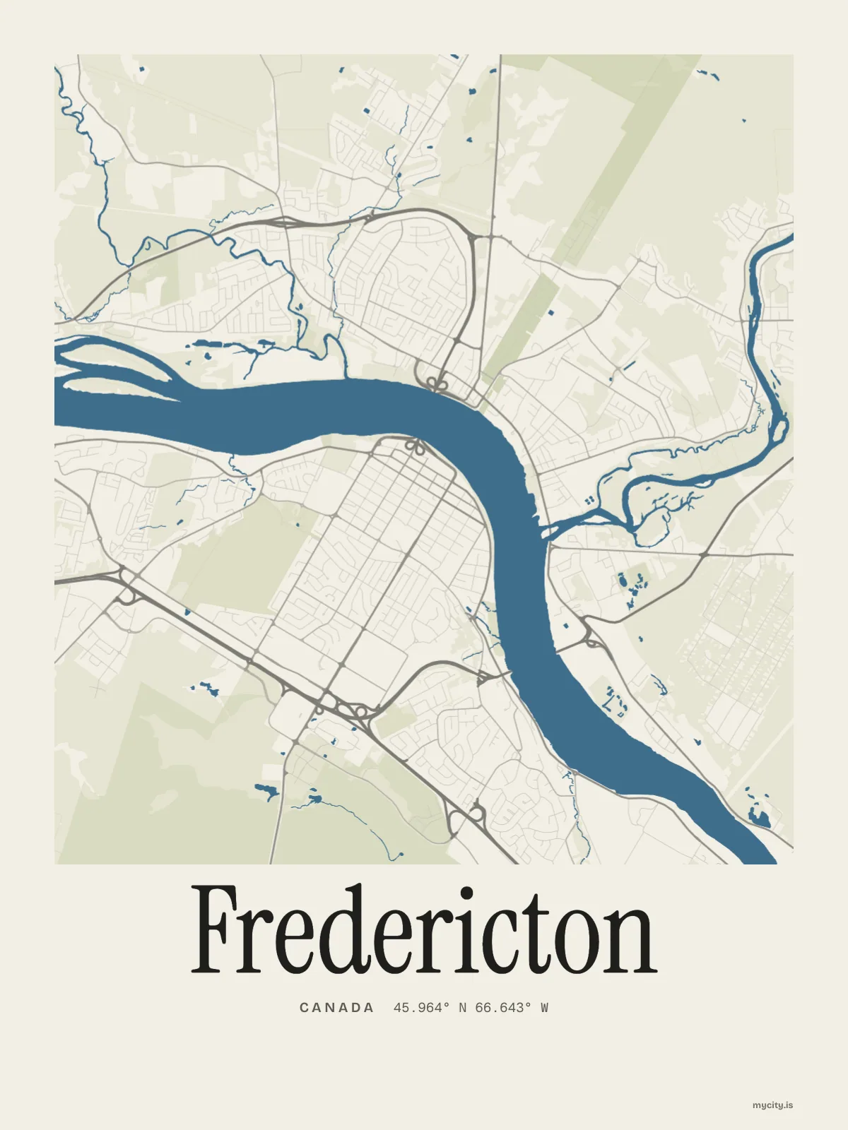
01 · 11 maps
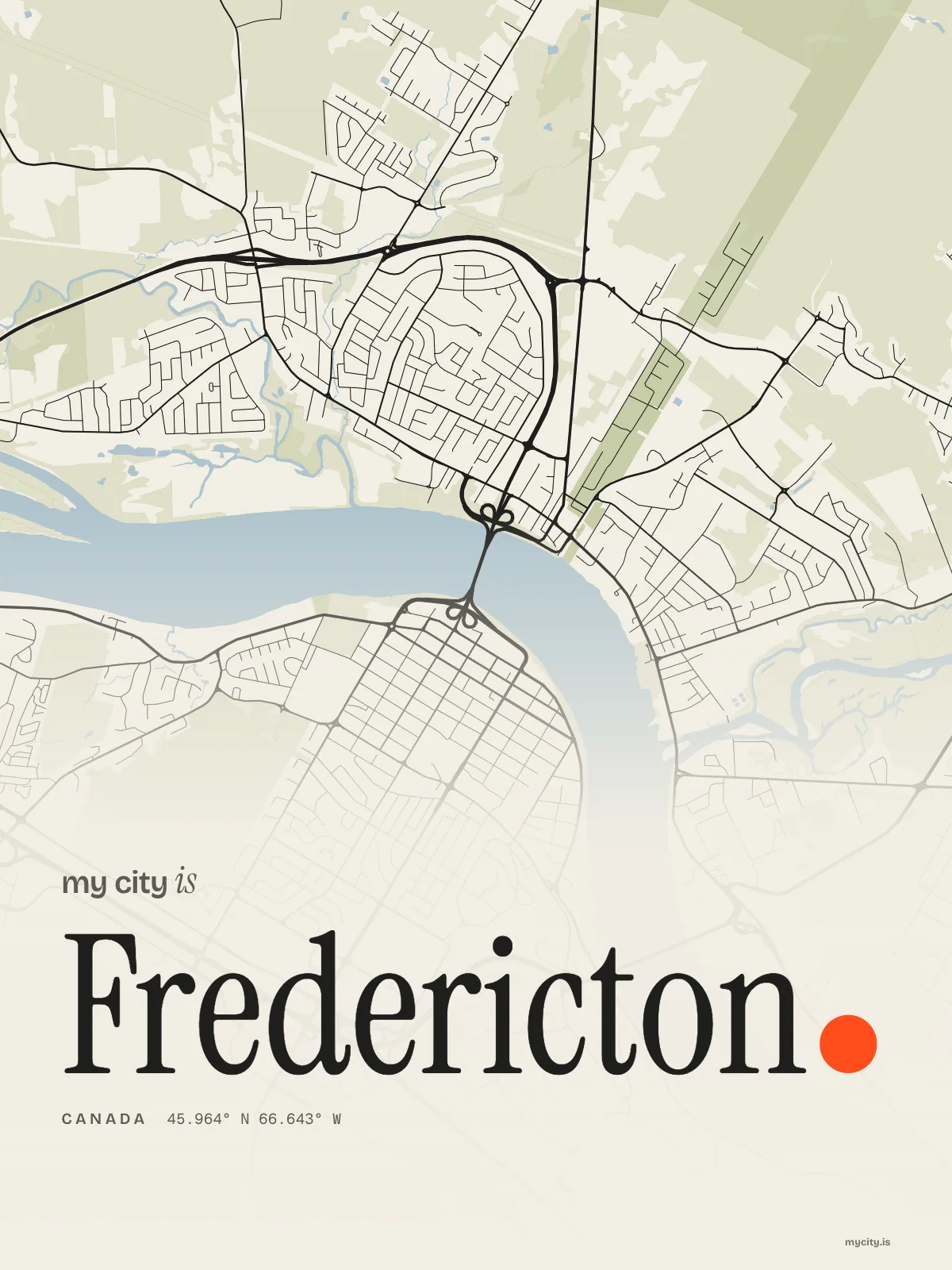
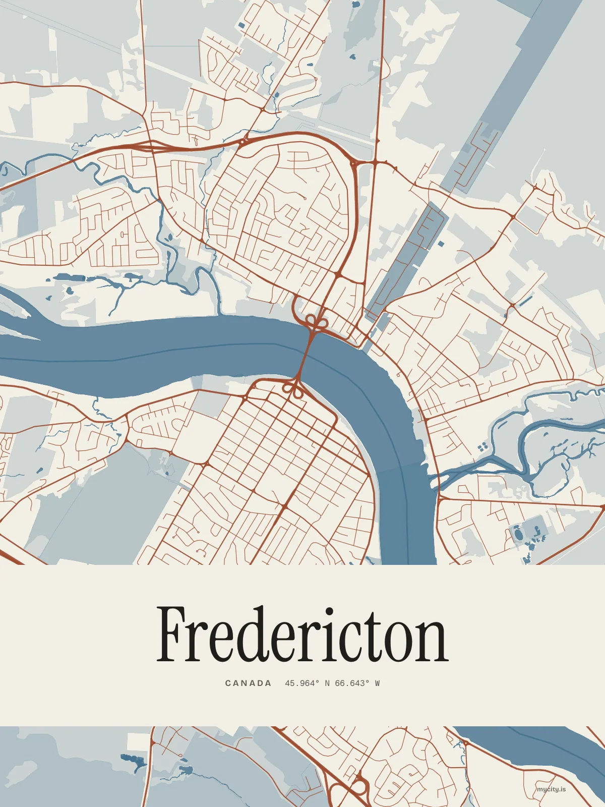
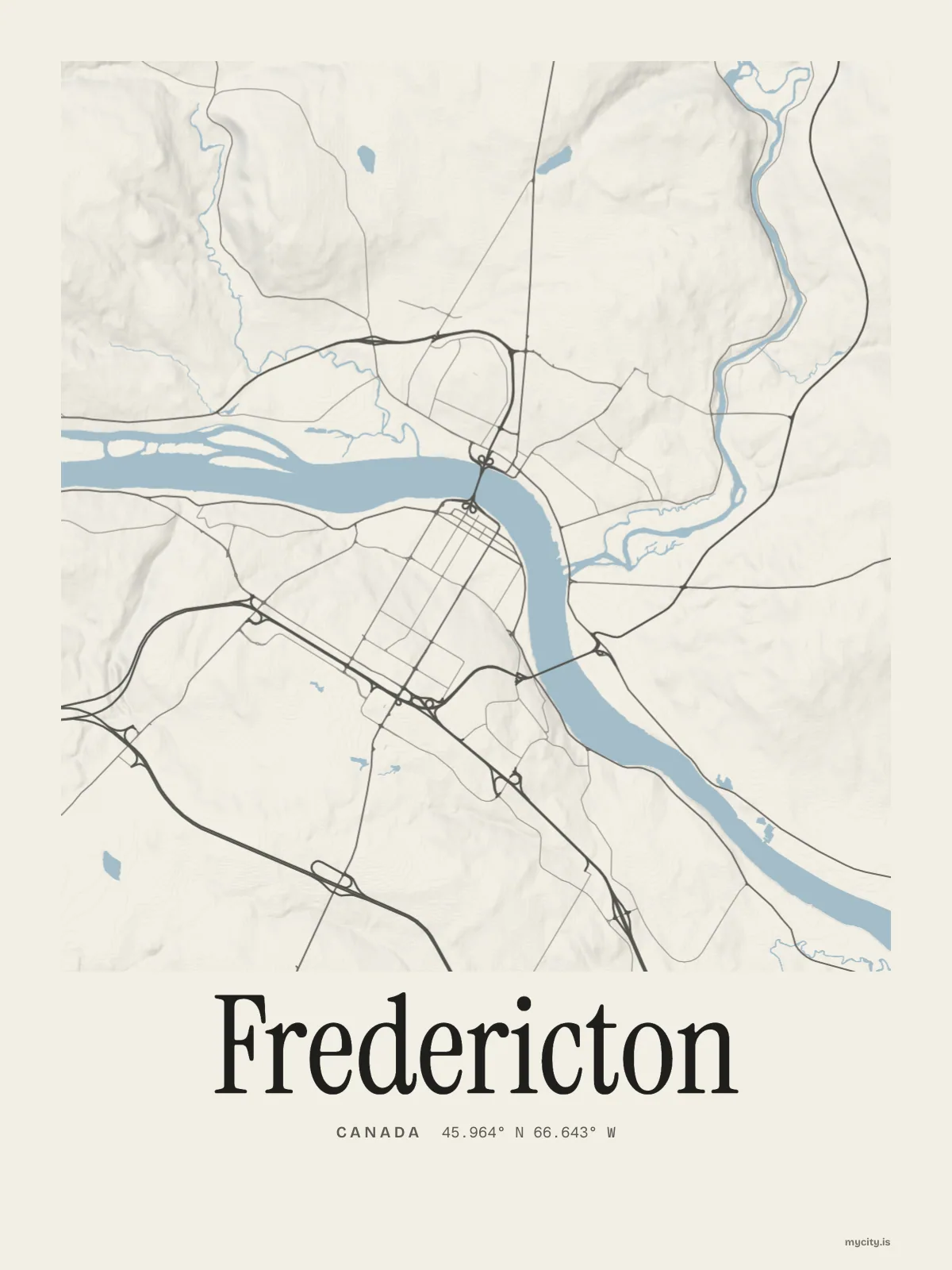
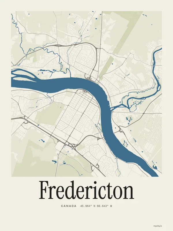
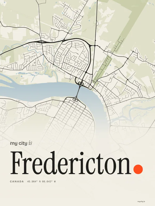
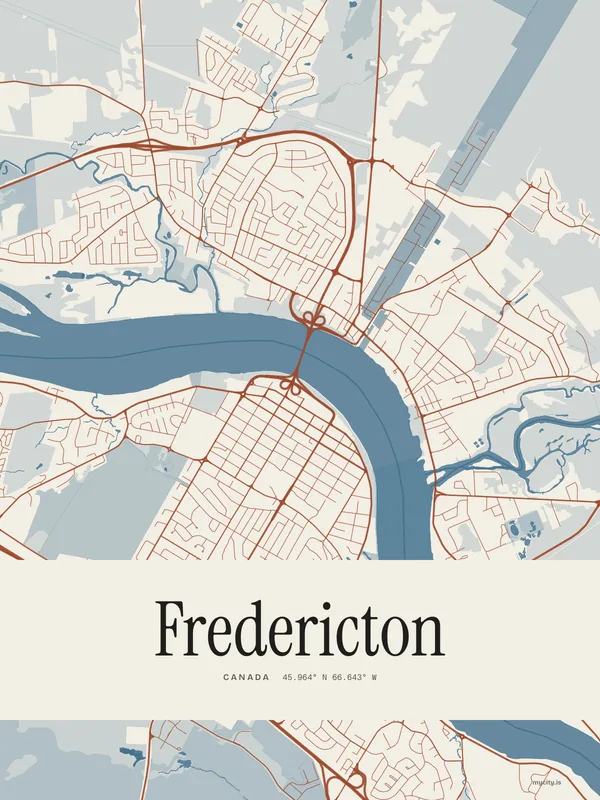
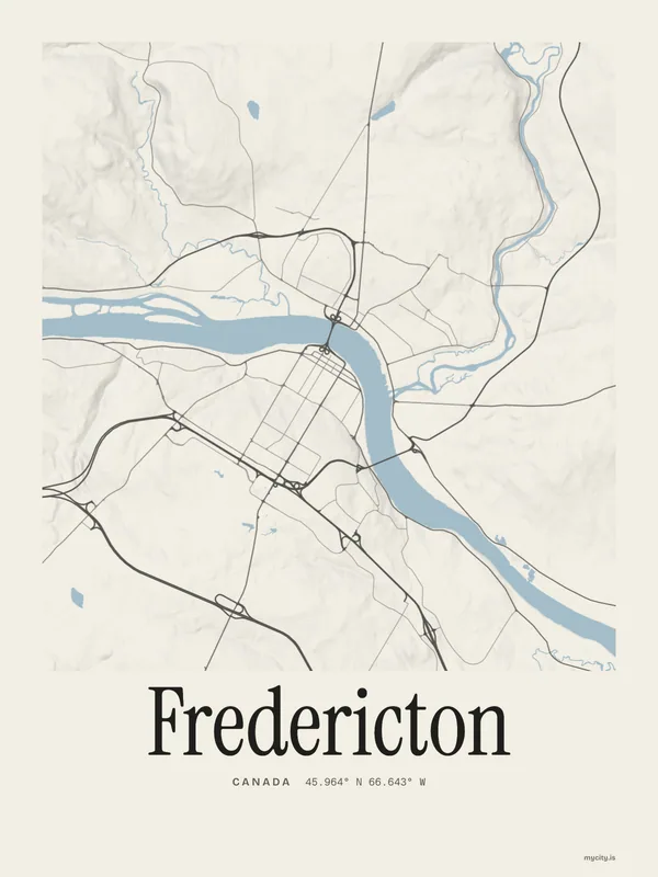
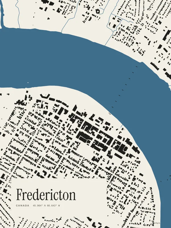
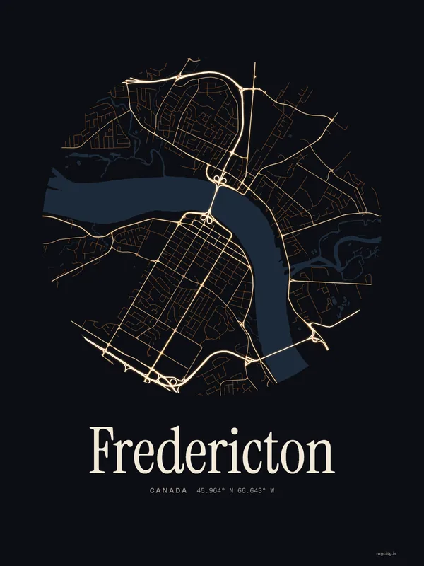
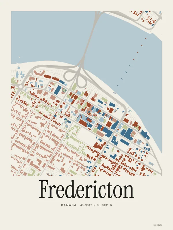
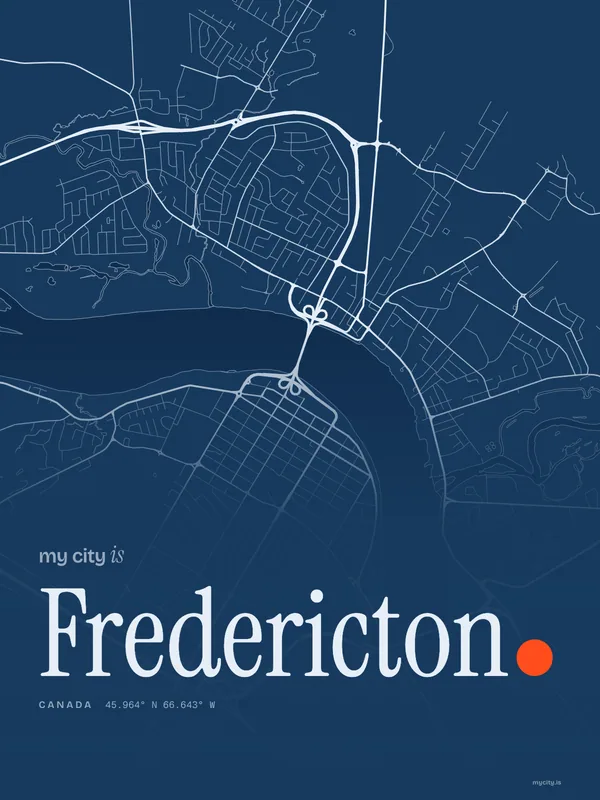
Down to the Saint John
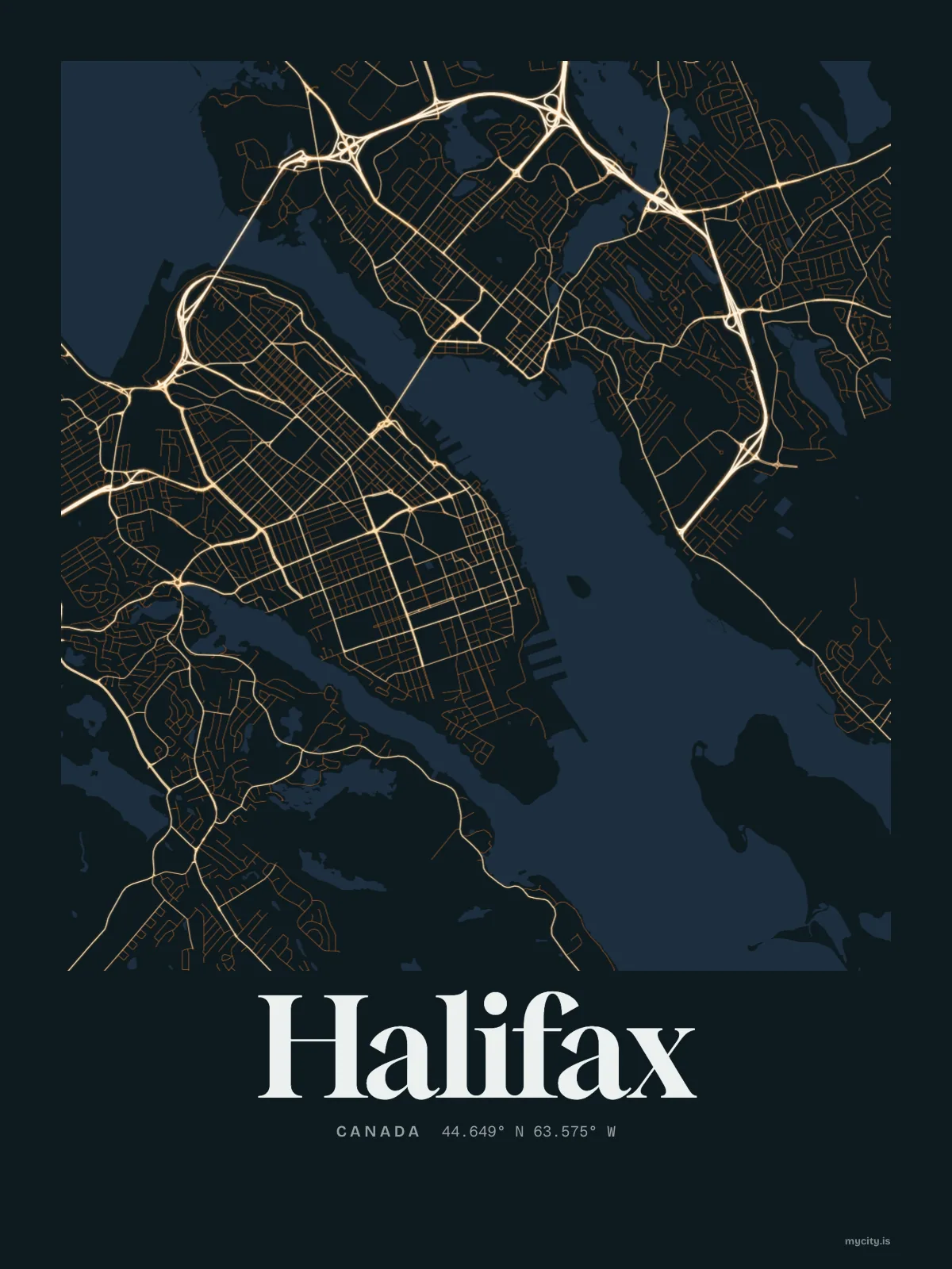
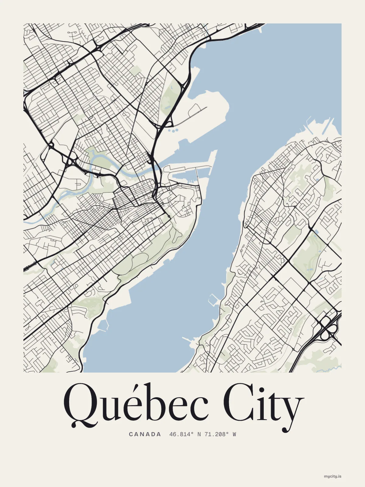
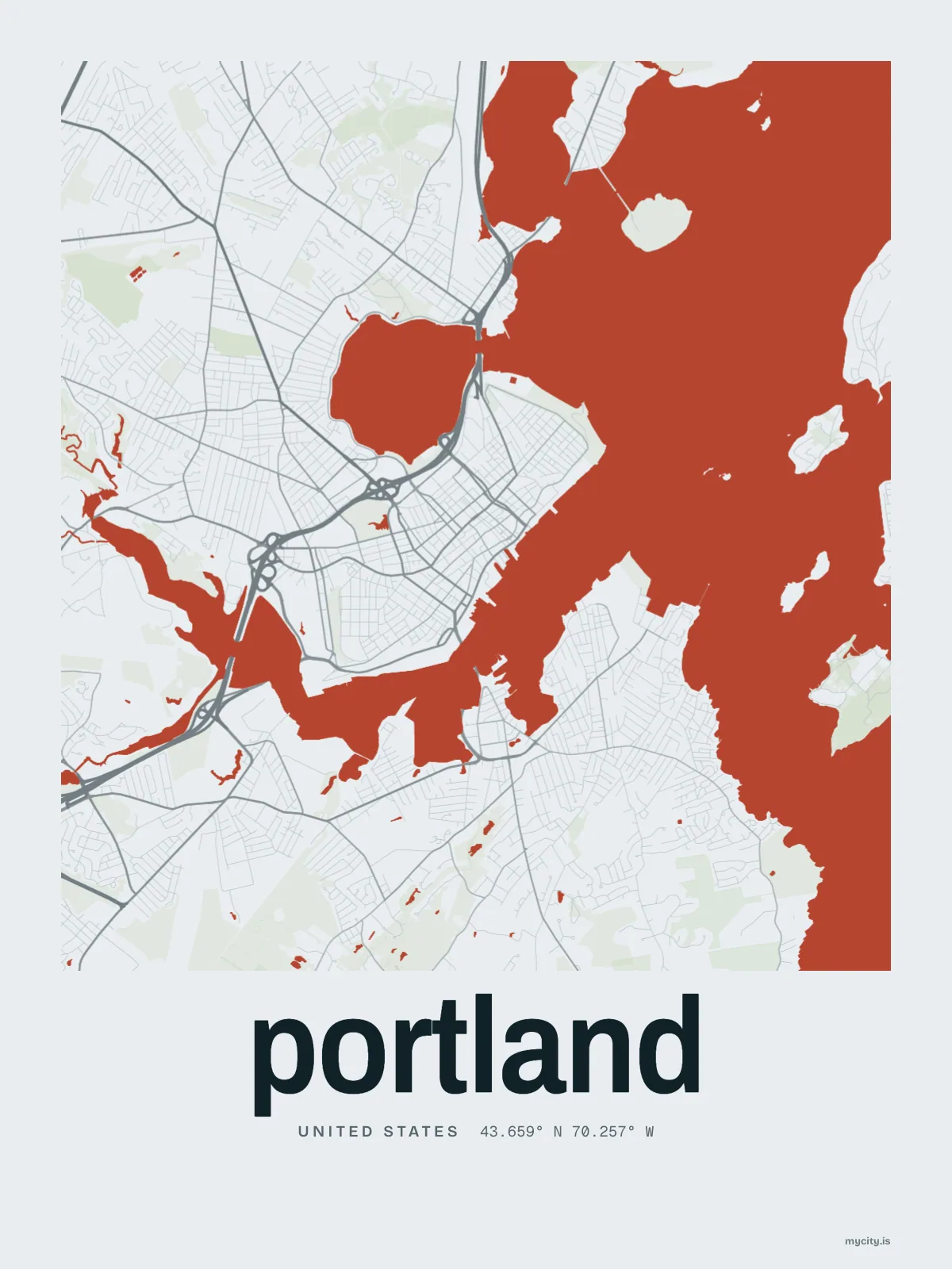
Fredericton's streets, drawn eight ways, plus studies of only its water, roads or green.
02 · 7 designs
All thirteen neighbourhoods
Fredericton in words: the sentence, finished, every neighbourhood run together and its name built big. Rue Prospect runs longest through the middle of town.

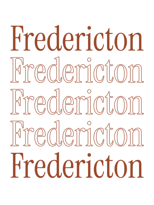
See all 7 designsShow fewer
03 · 6 designs
At 46° north
Fredericton, measured: the distance to somewhere else, its year, month by month and how far it is to everywhere else. Its days run from 8½ to 16 hours of light.
See all 6 designsShow fewer
04 · 7 date designs
Keep the date
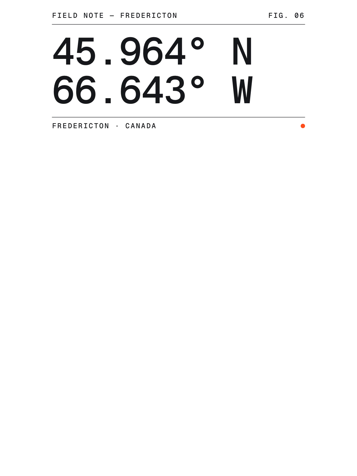
The day that made Fredericton yours, set like an invitation and signed with its coordinates, 45.964° N, 66.643° W. You write the words.
See all 7 datesShow fewer
05 · 14 designs to wear and use
Fredericton, to wear
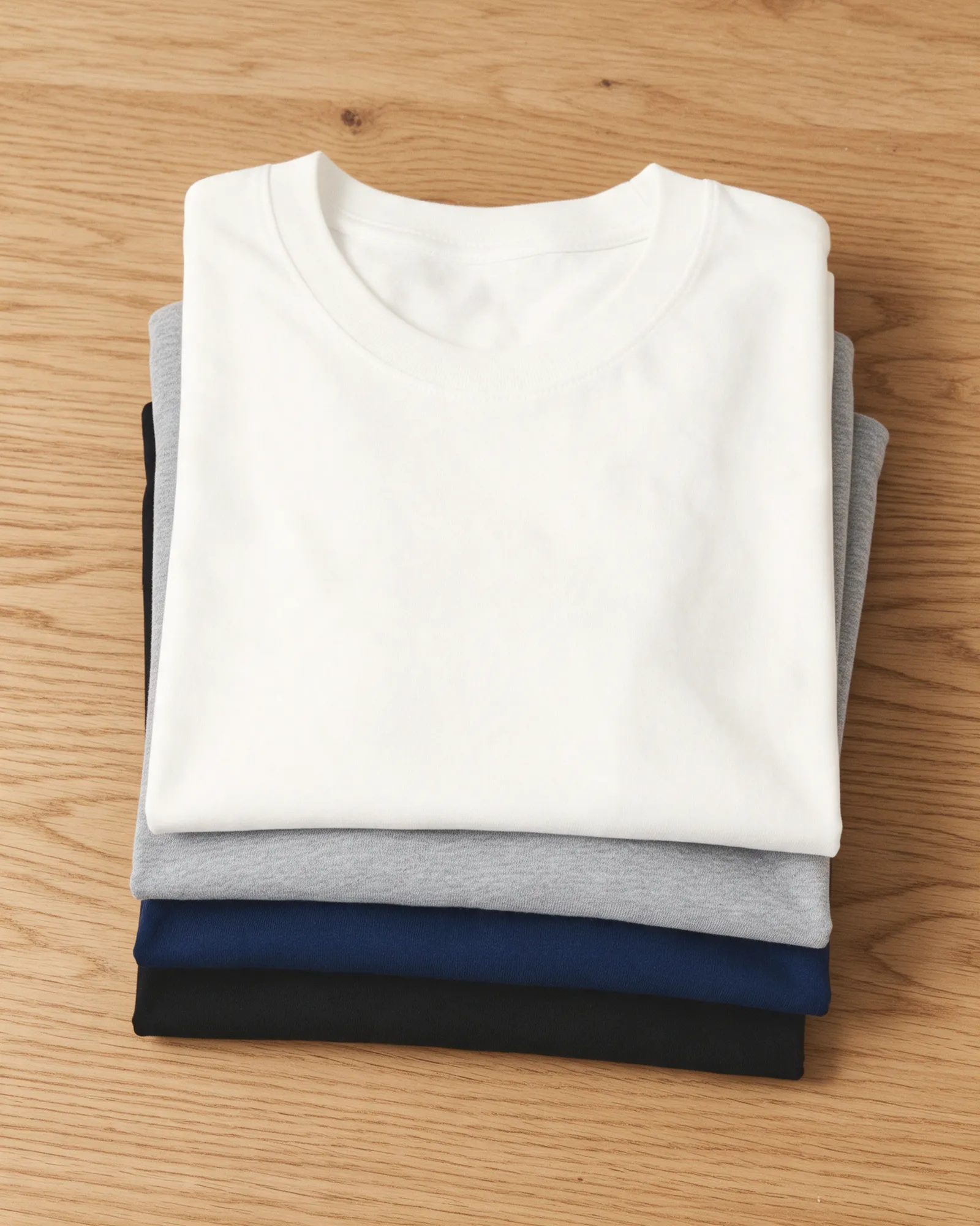
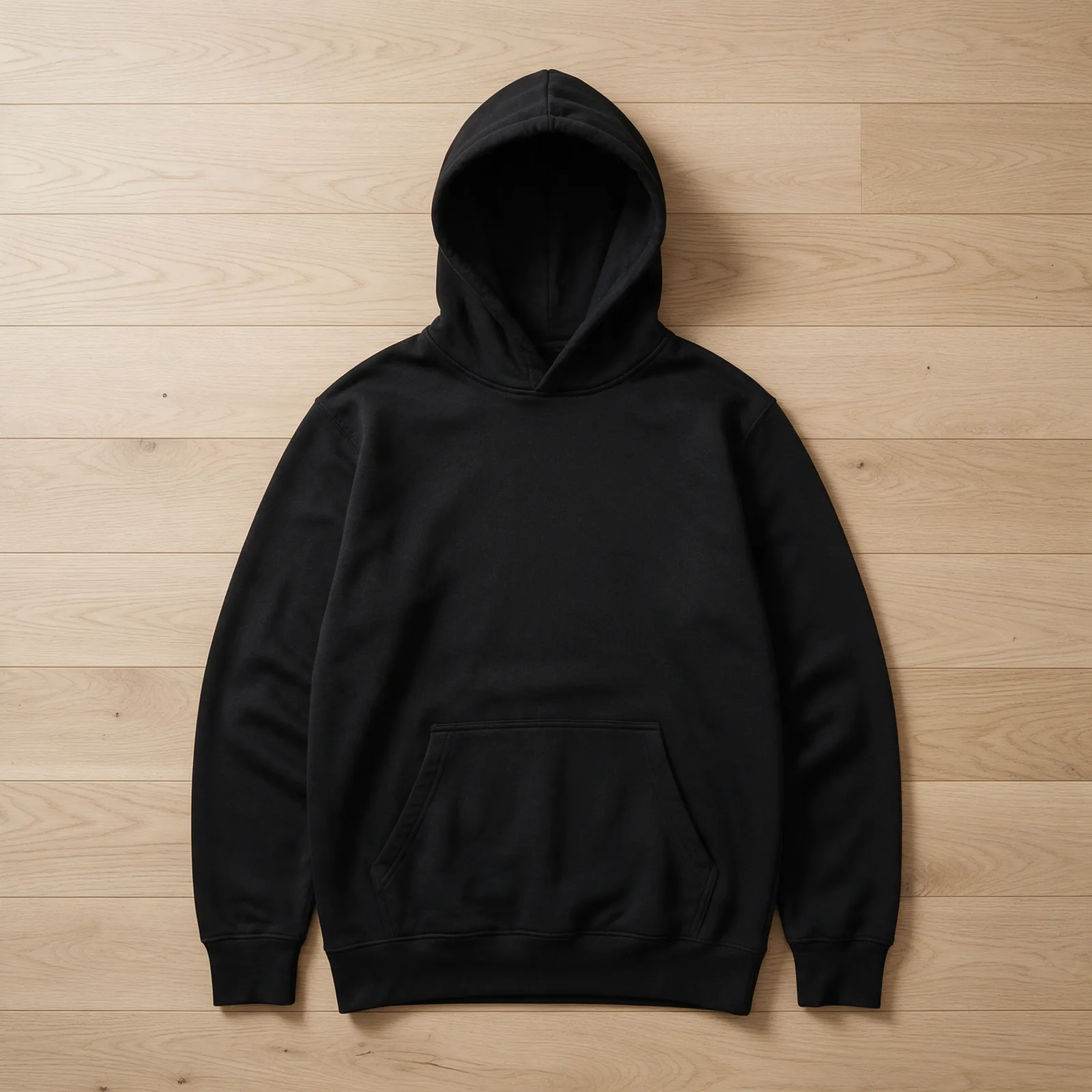
For Downtown, Town Plat, Waterloo Row and the rest of Fredericton: hoodies, tees, crewnecks and stickers, made for you.
- TeeCrest tee, on white
- Hoodie, left chestCoordinates hoodieField notes
- Crest tee
- Stack crewneckIndex
- The Sentence crewneck
- The Chart teeSun Path
- Coordinates hoodie
- Hoodie, left chestThe Sky hoodieConstellation
- Marquee stickers
- Crewneck, left chestThe Field crewneckGrain
- The Sentence tee
- Tee, left chestThe Sentence teeSignal
- Crest crewneck
- Line Map crewneckField notes
- Stack hoodie







Ways in
Start from the moment. It opens set up.
Each one has the words, a pin, a date and a style already in place for Fredericton. Open it, then make every part yours.
New home
The front door
A pin on home, the year you moved in and a welcome under the map.
Moving away
Our corner
The city at night, a pin where everyone used to meet and a line to take with you.
Where we met
The corner
Two inks, a heart on the spot and your names under the map.
Wedding
The stamp
“Married”, the date and your names in a ring of the place and its coordinates.