BrazilLatin America
my city isFlorianópolis
An island and a strip of mainland, bridges between, and beaches all round.
27.5954° S 48.5480° W
Neighbourhoods
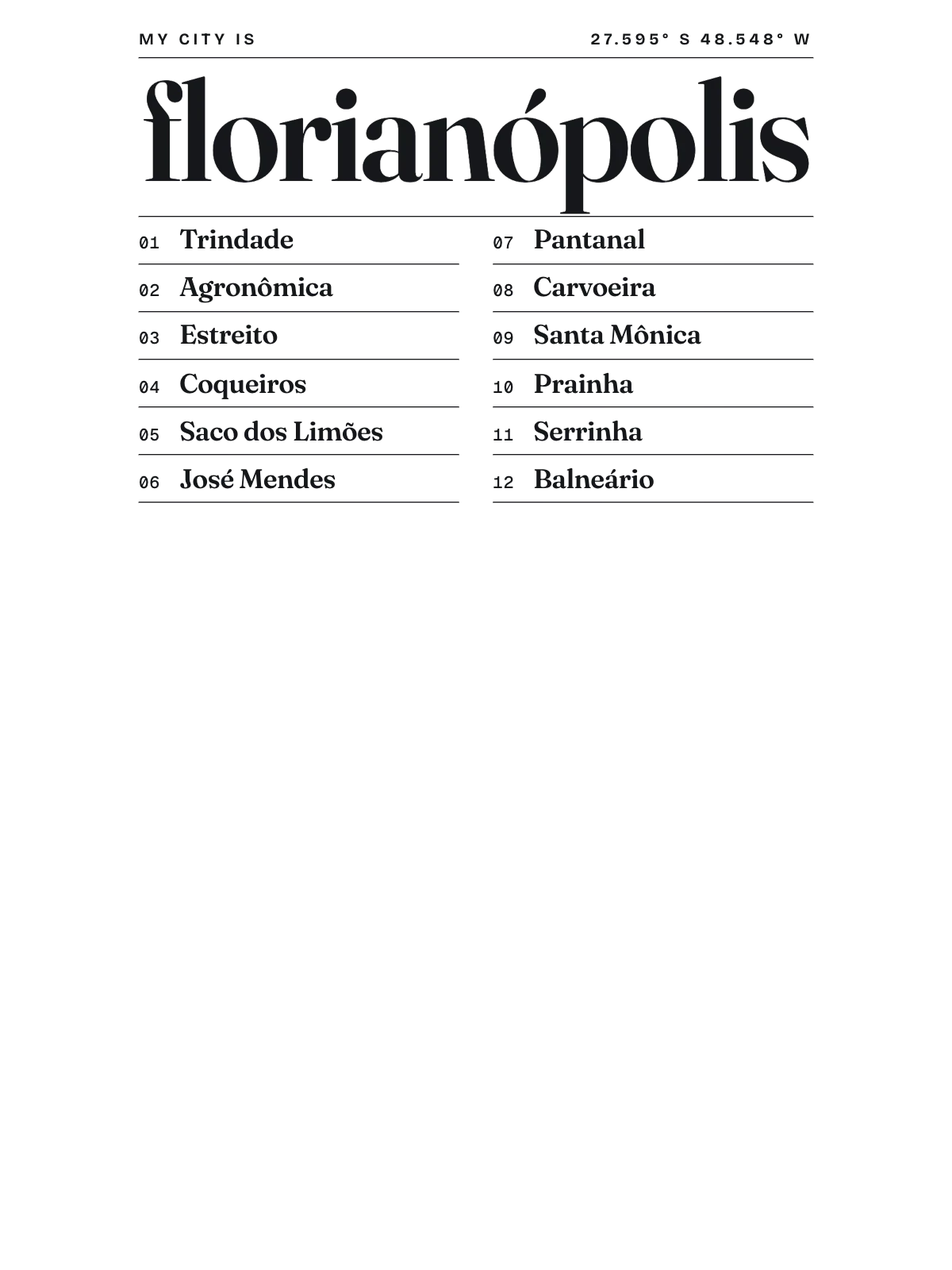
- Trindade
- Agronômica
- Estreito
- Coqueiros
- Saco dos Limões
- José Mendes
- Pantanal
- Carvoeira
- Santa Mônica
- Prainha
- Serrinha
- Balneário
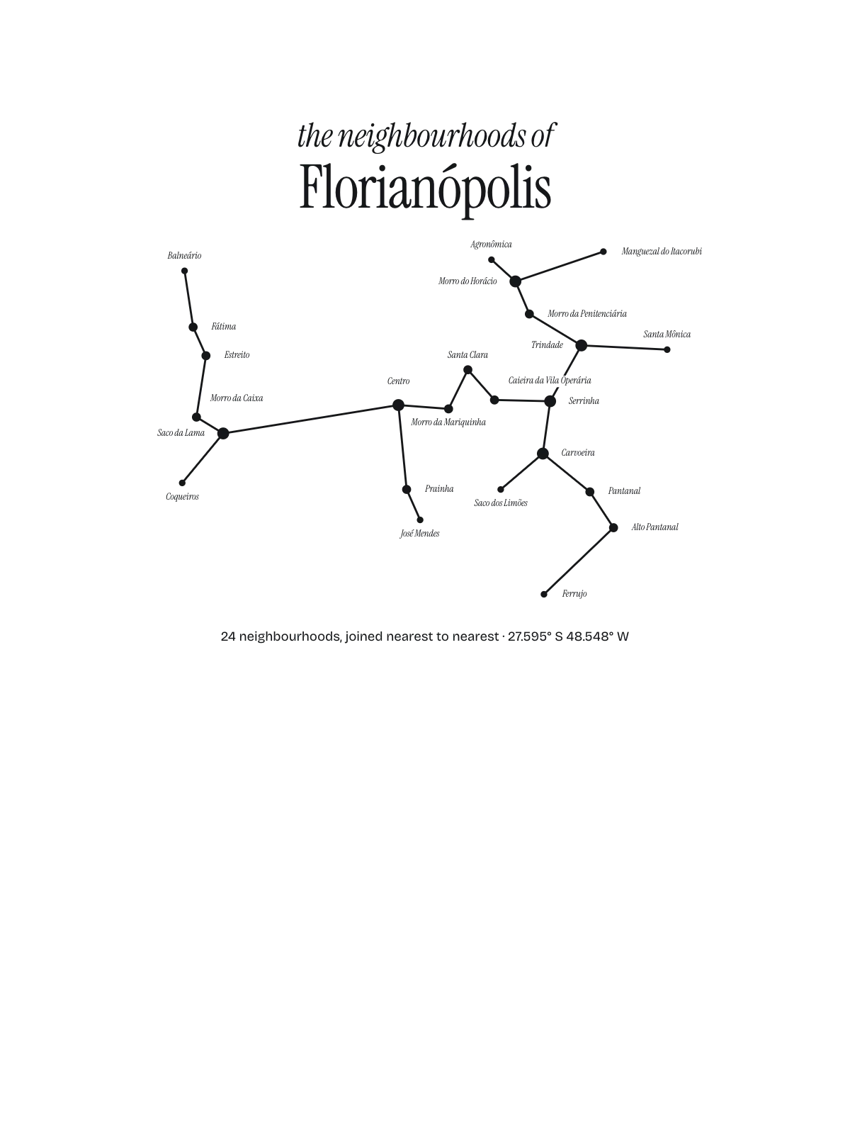
Constellation
the neighbourhoods of Florianópolis
24 places, joined nearest to nearest
Ring yoursThe lines
Florianópolis, in our lines
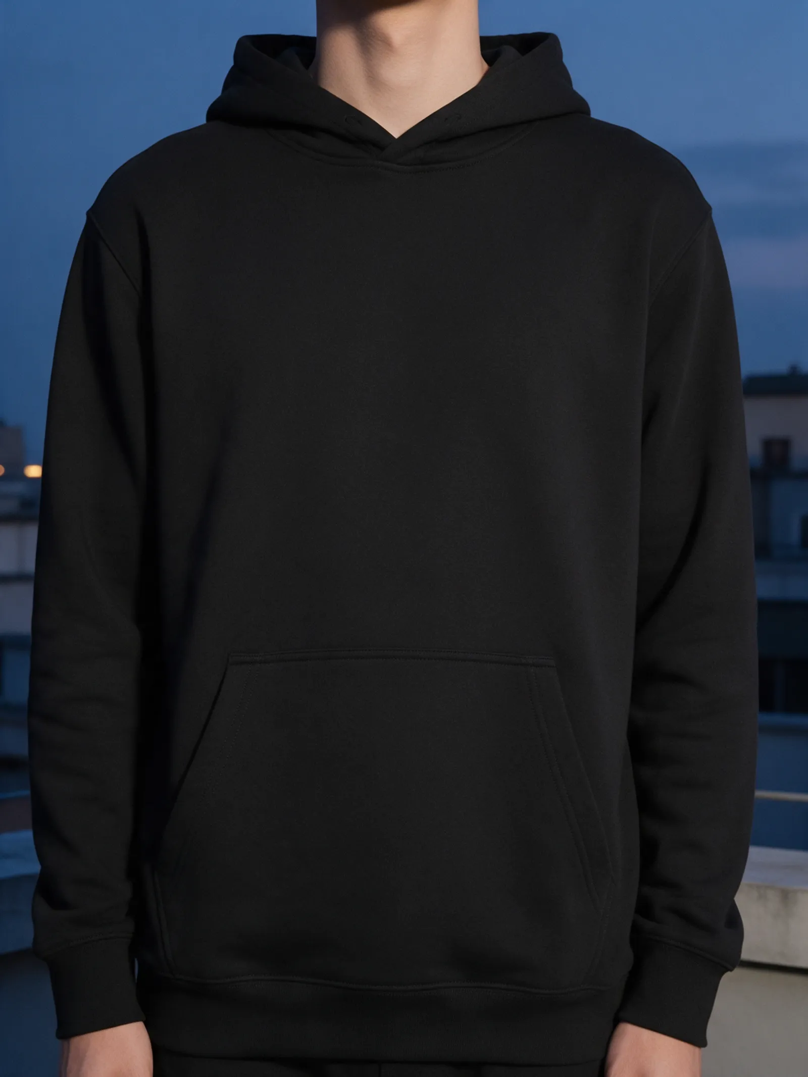
Our own lines, set for Florianópolis. Each one comes on what you wear and what you hang.
Constellation
Every neighbourhood a star, joined nearest to nearest.




In words
Florianópolis, spelled out
From Florianópolis's own names, set in its own type: its neighbourhoods, the sentence and its name built big. Each one a print you can make yours.
About Florianópolis
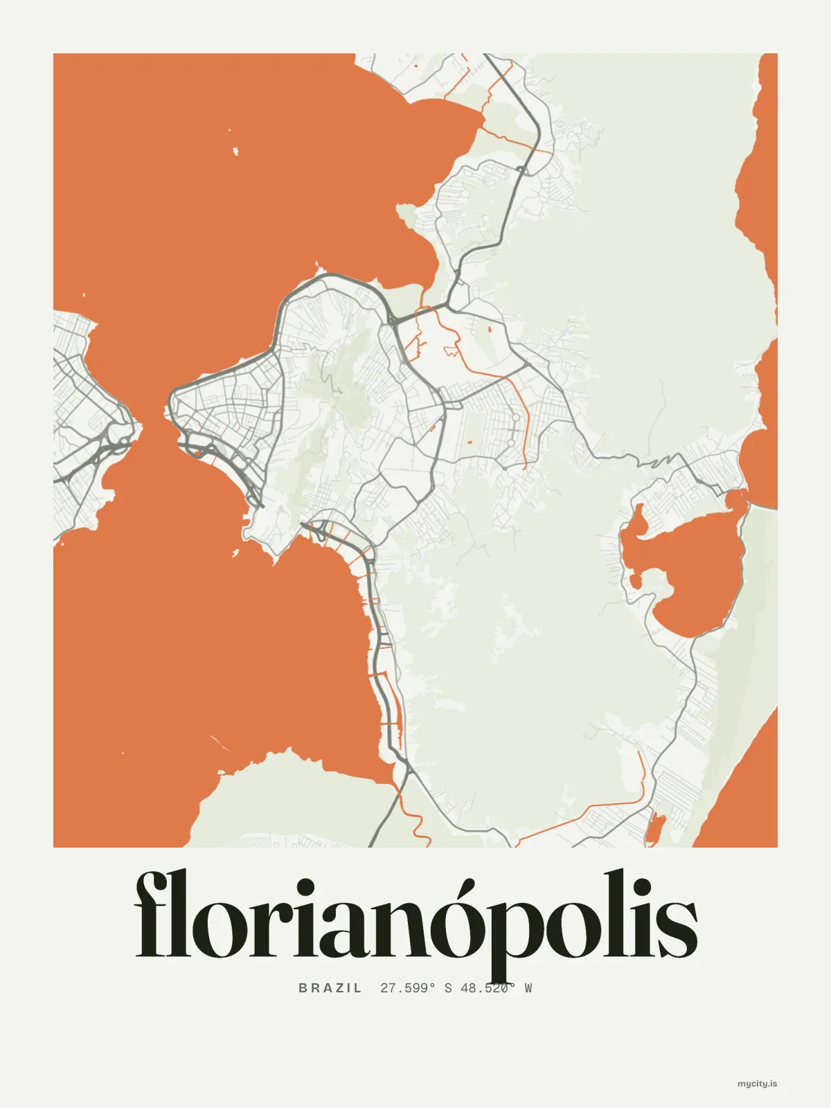
A long hilly island tied to the mainland by bridges, calm bays on the inner side and surf beaches on the outer, and a big lagoon in the middle of it all. Florianopolis is the capital of Santa Catarina, mostly built on its island.
Browse now · Orders in the Netherlands open soon
Florianópolis in lines and in letters
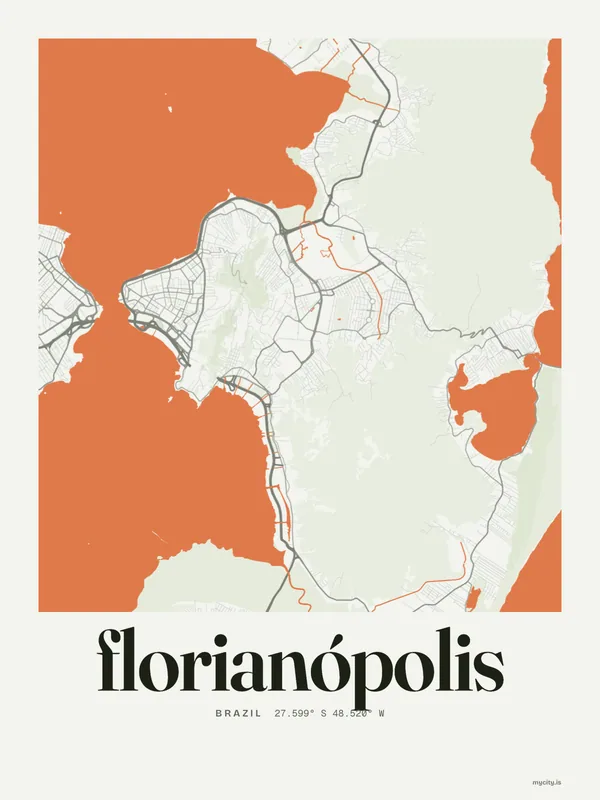
01 · 11 maps
From above
Florianópolis's streets, drawn eight ways, plus studies of only its water, roads or green.
02 · 6 designs
Twelve neighbourhoods, by name
Florianópolis in words: the sentence, finished, every neighbourhood run together and its name built big. Avenida Mauro Ramos runs longest through the middle of town.
See all 6 designsShow fewer
03 · 5 designs
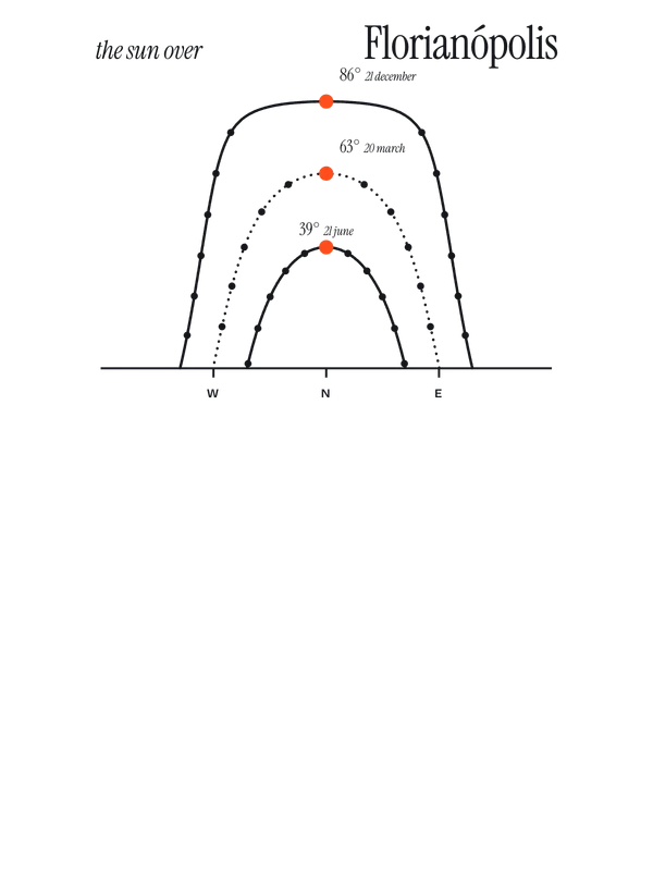
28° south, to the degree
Florianópolis, measured: the distance to somewhere else, its year, month by month and how far it is to everywhere else. Its days run from 10½ to 14 hours of light.
See all 5 designsShow fewer
04 · 7 date designs
The day it started
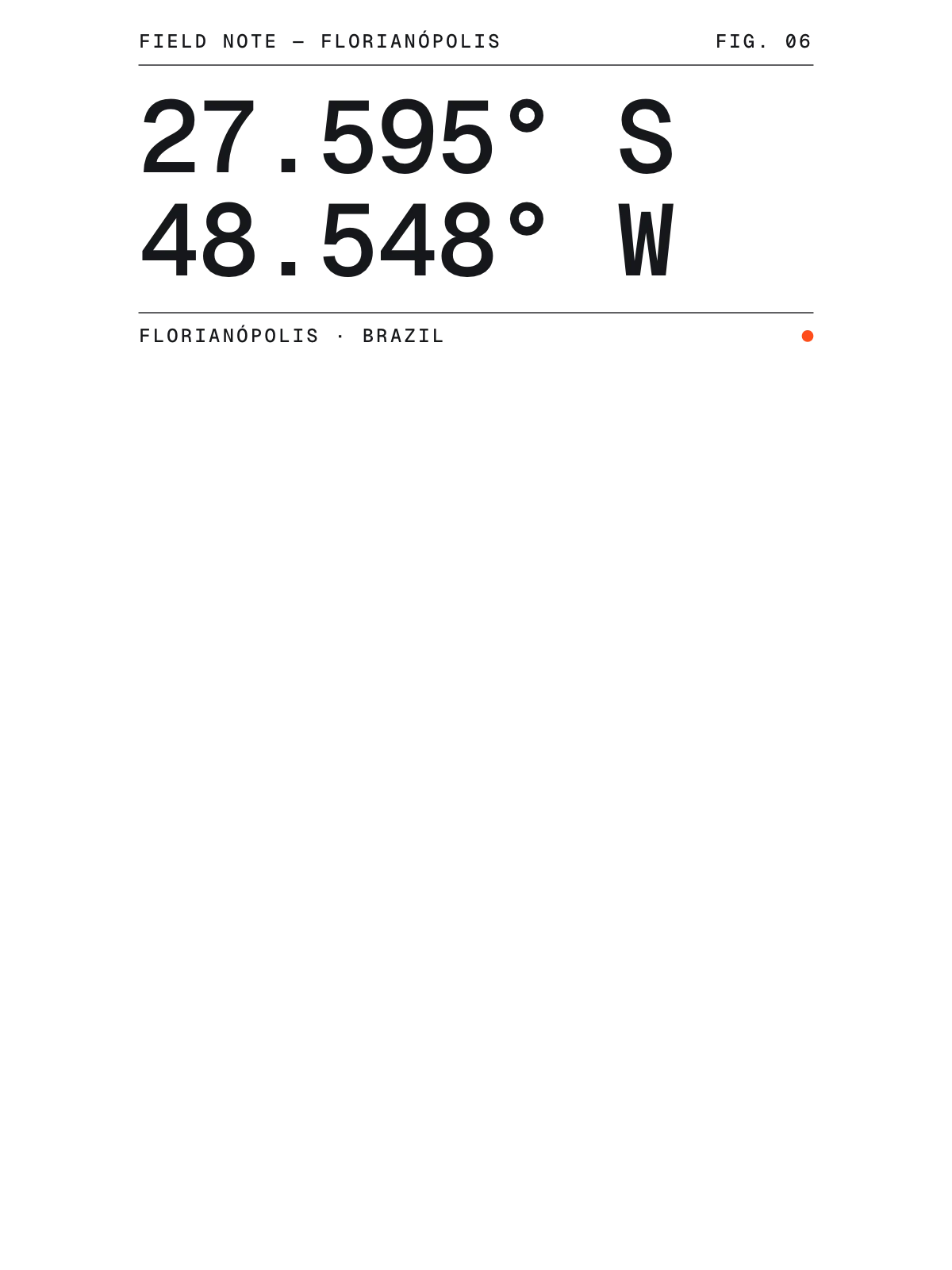
The day that made Florianópolis yours, set like an invitation and signed with its coordinates, 27.595° S, 48.548° W. You write the words.
See all 7 datesShow fewer
05 · 14 designs to wear and use
For every day
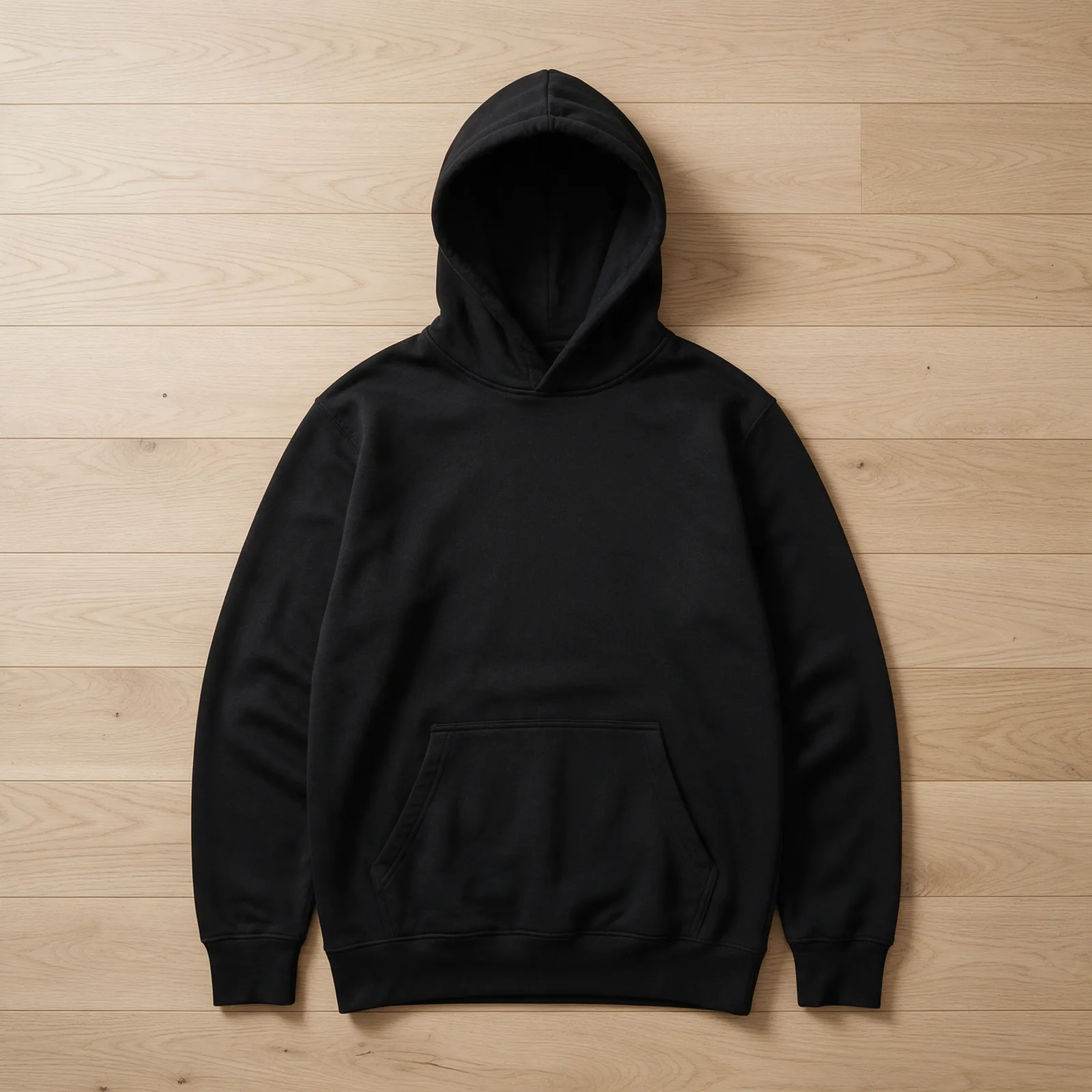
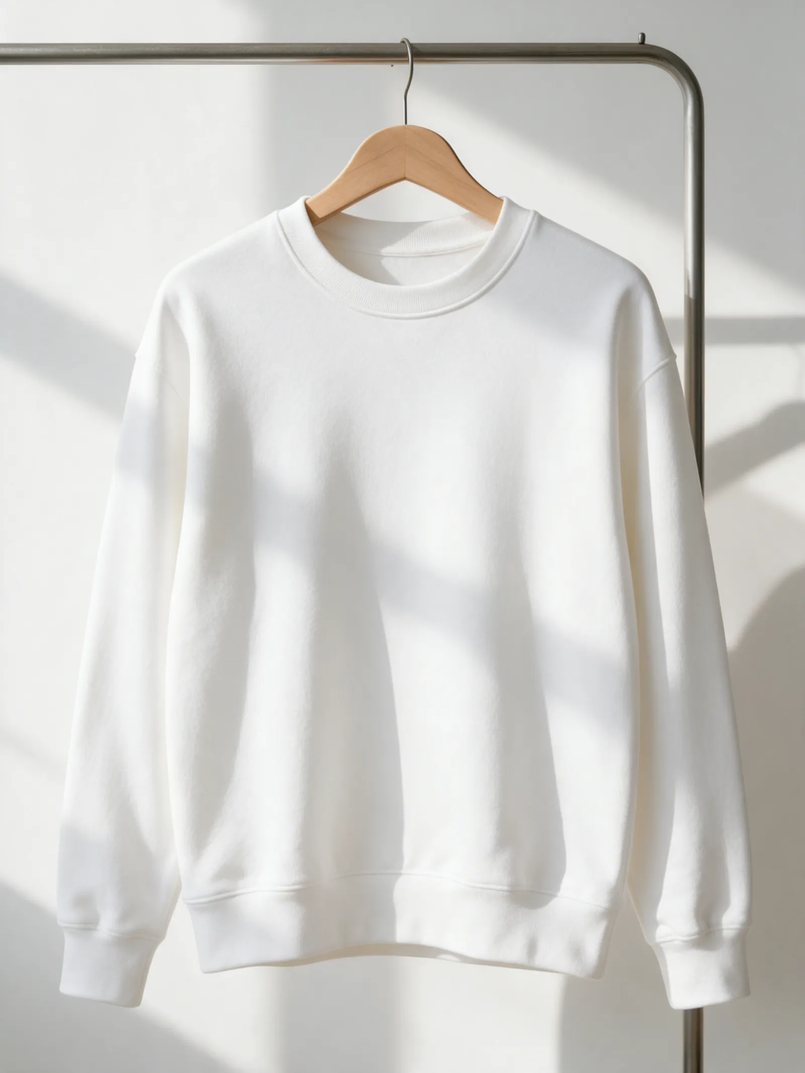
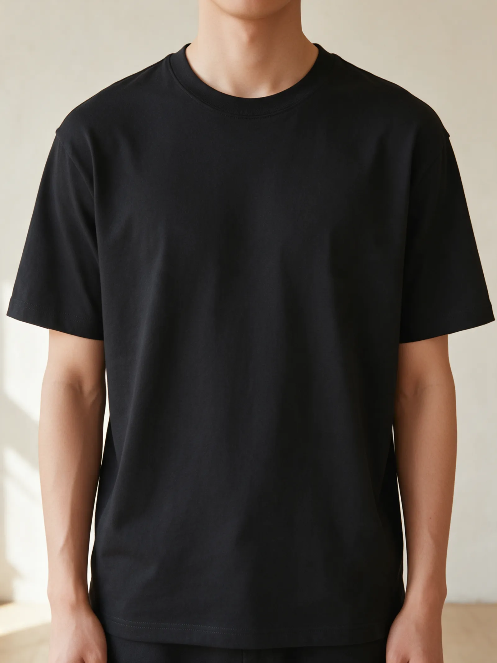
For Trindade, Agronômica, Estreito and the rest of Florianópolis: crewnecks, tees, hoodies, mugs and stickers, made for you.
- CrewneckThe Chart crewneck, on white
- The Chart crewneckSun Path
- Crest tee
- Tee, left chestThe Sky teeConstellation
- The Sentence crewneck
- Hoodie, left chestThe Field hoodieGrain
- Coordinates hoodie
- Crewneck, left chestThe Sentence crewneckSignal
 Crest mug
- Tee, left chestCoordinates teeField notes
- Marquee stickers
- Hoodie, left chestThe Sentence hoodieLocal tongue
- The Sentence tee
- Stack crewneckIndex
- Crest crewneck


Ways in
Start from the moment. It opens set up.
Each one has the words, a pin, a date and a style already in place for Florianópolis. Open it, then make every part yours.
New home
The front door
A pin on home, the year you moved in and a welcome under the map.
Moving away
Our corner
The city at night, a pin where everyone used to meet and a line to take with you.
Where we met
The corner
Two inks, a heart on the spot and your names under the map.
Wedding
The stamp
“Married”, the date and your names in a ring of the place and its coordinates.