United KingdomEurope
my city isCanterbury
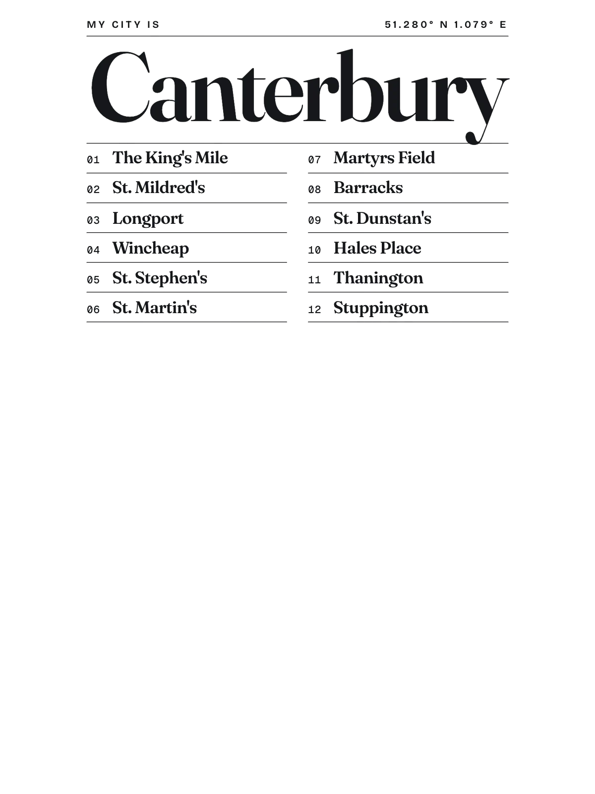
From The King's Mile to Stuppington, every street.
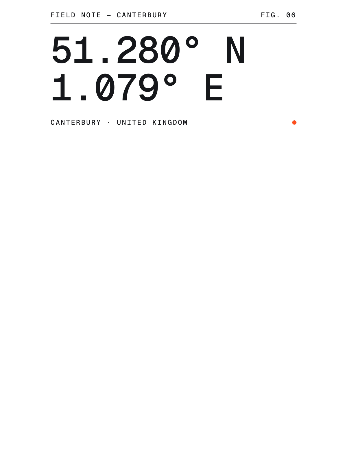
51.2802° N 1.0789° E
Neighbourhoods
- The King's Mile
- St. Mildred's
- Longport
- Wincheap
- St. Stephen's
- St. Martin's
- Martyrs Field
- Barracks
- St. Dunstan's
- Hales Place
- Thanington
- Stuppington
Constellation
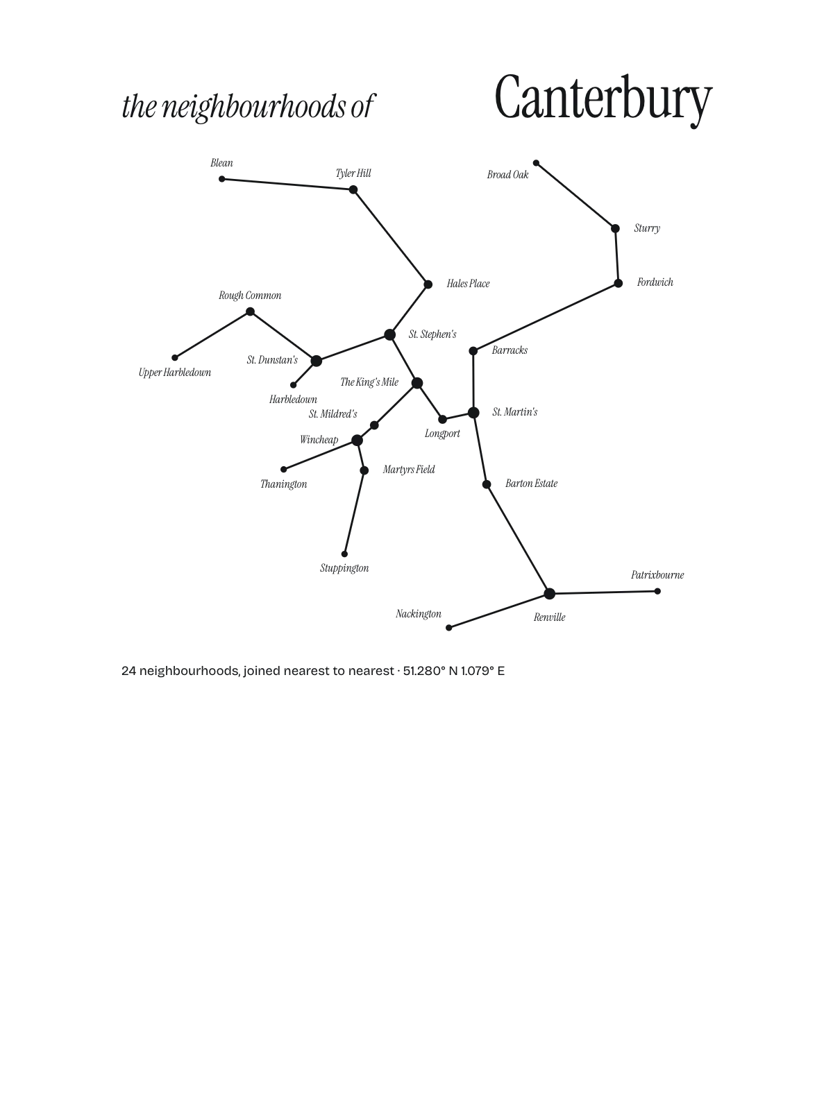
the neighbourhoods of Canterbury
24 places, joined nearest to nearest
Ring yoursThe lines
Canterbury, in our lines
Our lines, made for Canterbury: on a print, a tee, a hoodie or a mug.
Constellation
Every neighbourhood a star, joined nearest to nearest.


In words
Canterbury, in its own words
From Canterbury's own names, set in the city's type: its neighbourhoods, its streets from A to Z and the sentence. Each one a print you can make yours.

Browse now · Orders in Germany open soon
Canterbury, mapped and lettered
01 · 6 maps
The whole of it
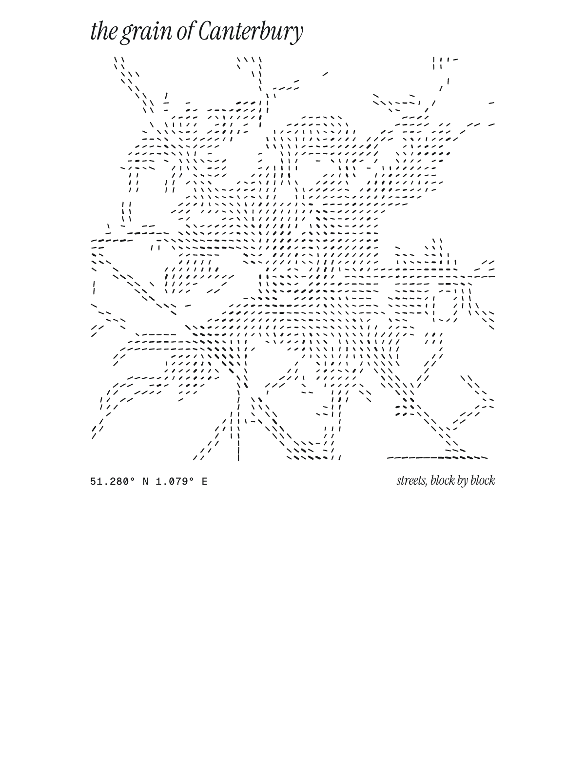
Canterbury's streets, drawn four ways, plus studies of only its roads or green.

02 · 7 designs
Twelve of its neighbourhoods
Canterbury in words: the sentence, finished, every neighbourhood run together and its name built big. New Dover Road runs longest through the middle of town.

See all 7 designsShow fewer
03 · 6 designs
Counted and measured
Canterbury, measured: the distance to somewhere else, its year, month by month and how far it is to everywhere else. Paris is 177 mi away, as the crow flies.
See all 6 designsShow fewer
04 · 1 date design
The date that counts
Signed 51.280° N, 1.079° E and set like an invitation: the day you arrived in Canterbury, married there or moved away. You write the words.
05 · 14 designs to wear and use
Out and about
Canterbury on stickers, tees, crewnecks, hoodies and mugs, made for you.
- HoodieStack hoodie, on black
- The Centre stickersGrain
- The Sentence tee
- Tee, left chestThe Sentence teeSignal
- Coordinates crewneck
- Hoodie, left chestCoordinates hoodieField notes
- Stack hoodie
- Stack crewneckIndex
 The Sentence mug
- The Chart teeSun Path
- Marquee stickers
- Stars Only stickersConstellation
- Coordinates tee
- Words: the one I left hoodieSignal
- The Sentence crewneck


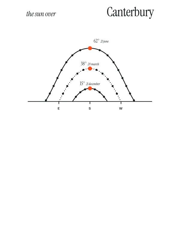
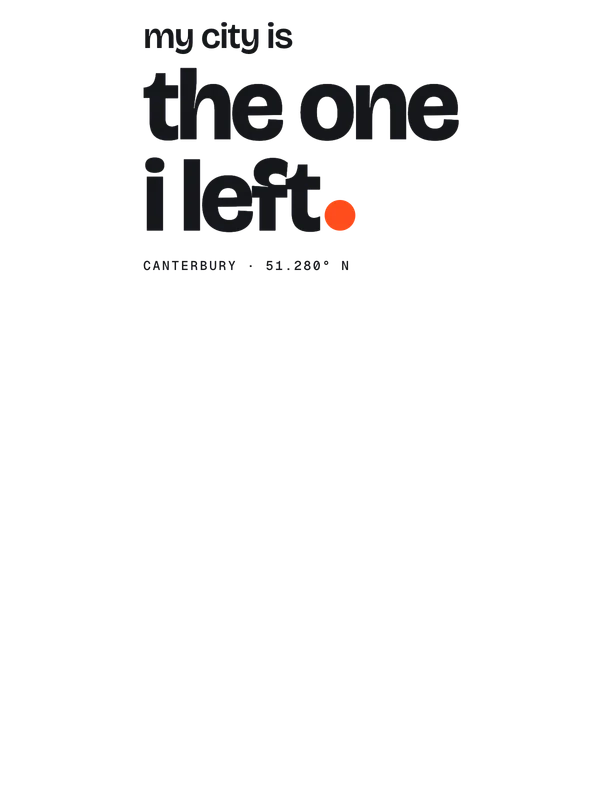
Ways in
Start from a moment in Canterbury.
Each one has the words, a pin, a date and a style already in place for Canterbury. Open it, then make every part yours.
New home
The front door
A pin on home, the year you moved in and a welcome under the map.
Moving away
Where we all met
The city at night, a pin where everyone used to meet and a line to take with you.
Where we met
The corner
Two inks, a heart on the spot and your names under the map.
Wedding
The stamp
“Married”, the date and your names in a ring of the place and its coordinates.