the sun over Banjul
13.45° N · Sun Path
Longest day 12 h 55 · shortest 11 h 20
Banjul, Sun Path · The ChartThe lines
Banjul, in our lines
Our own lines, set for Banjul. Each one comes on what you wear and what you hang.
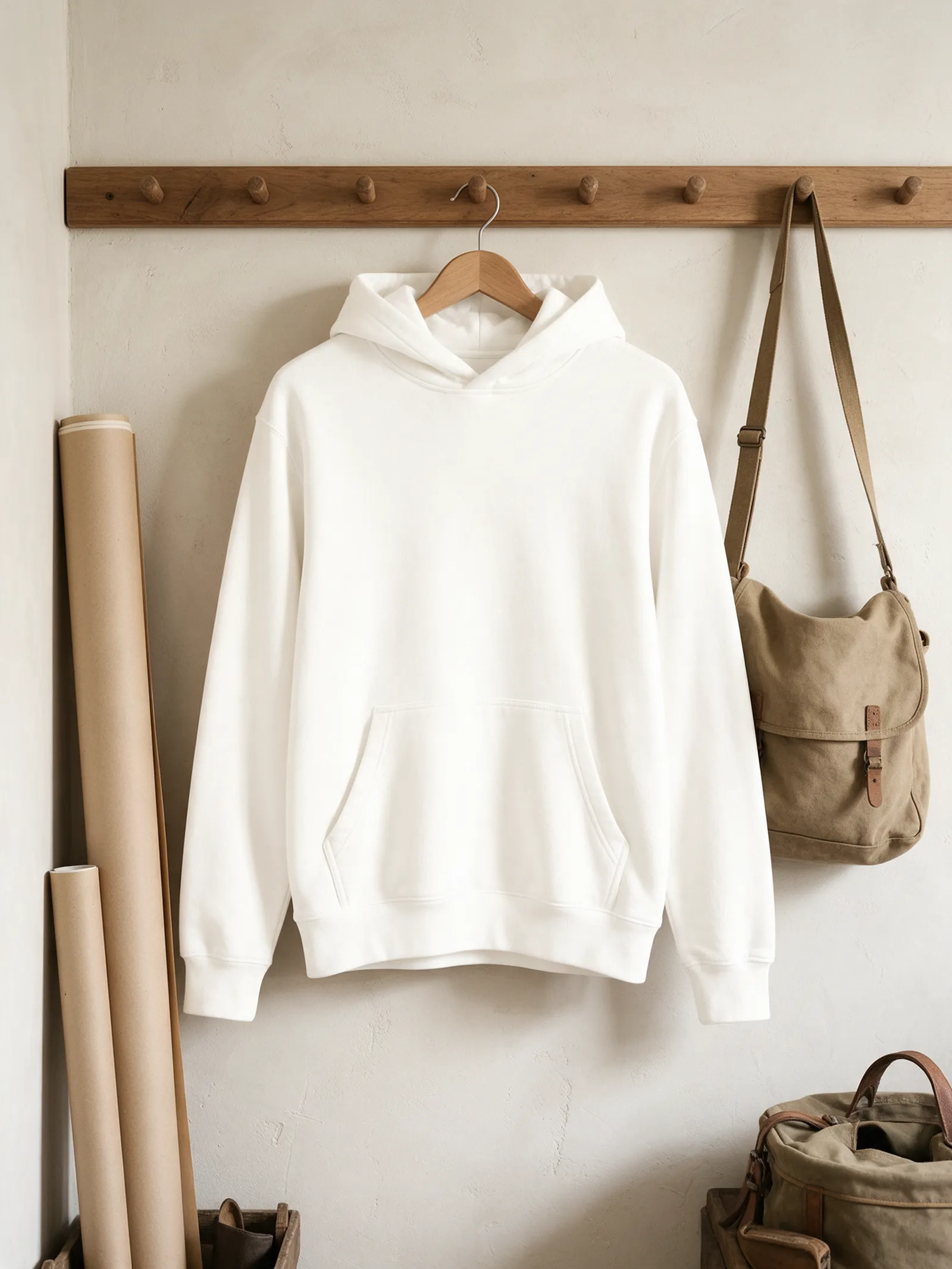
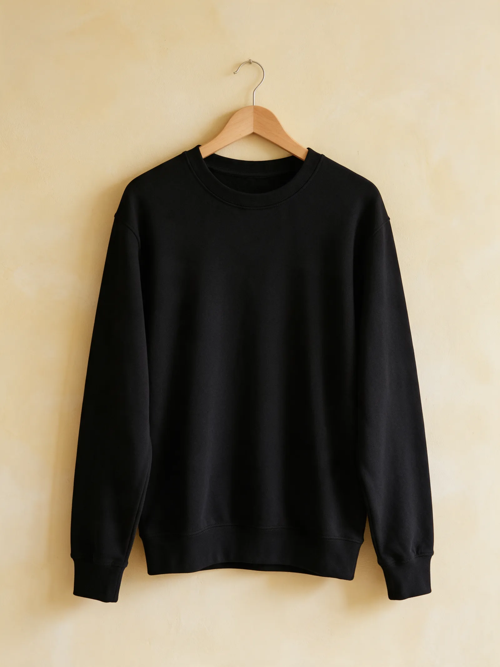
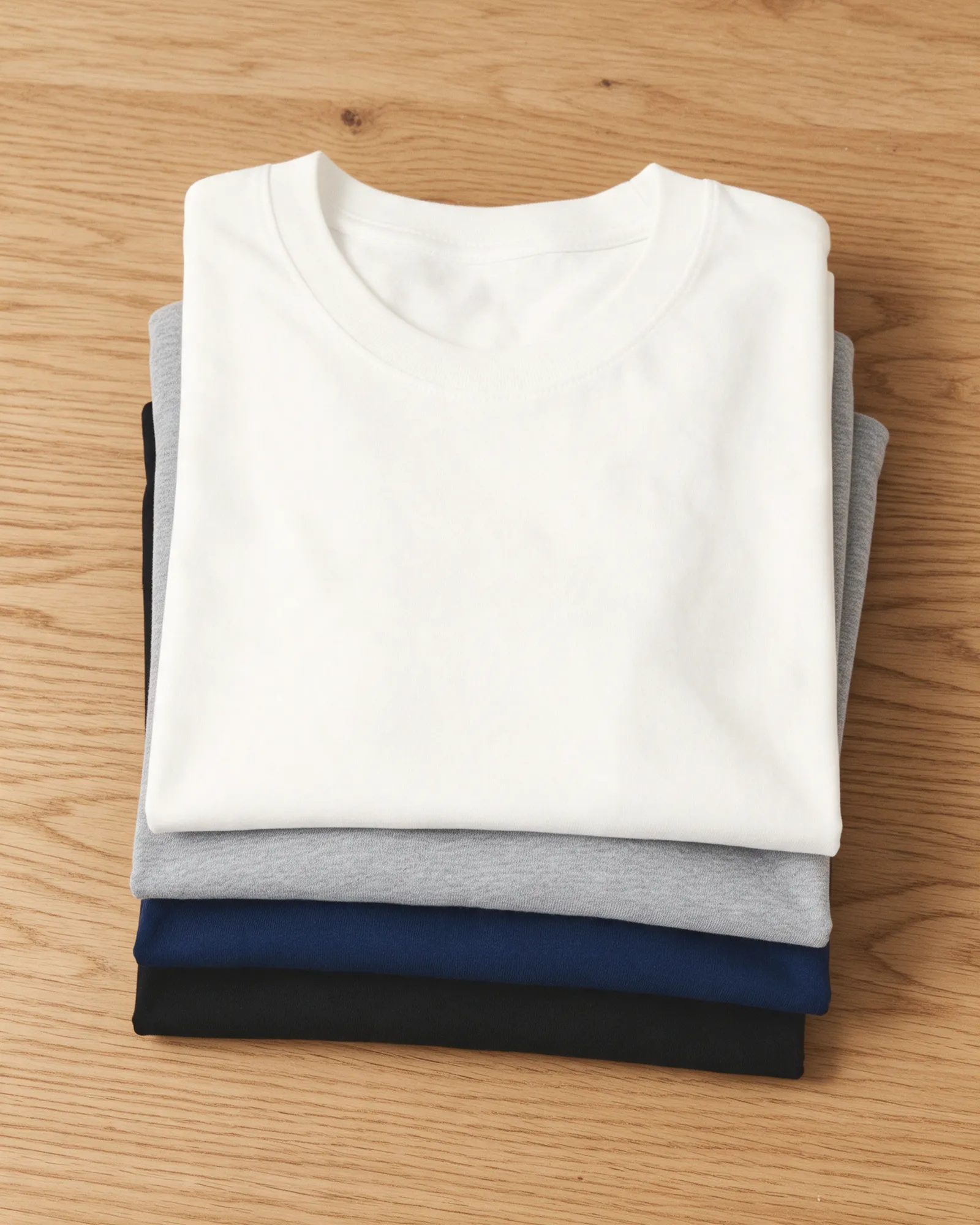
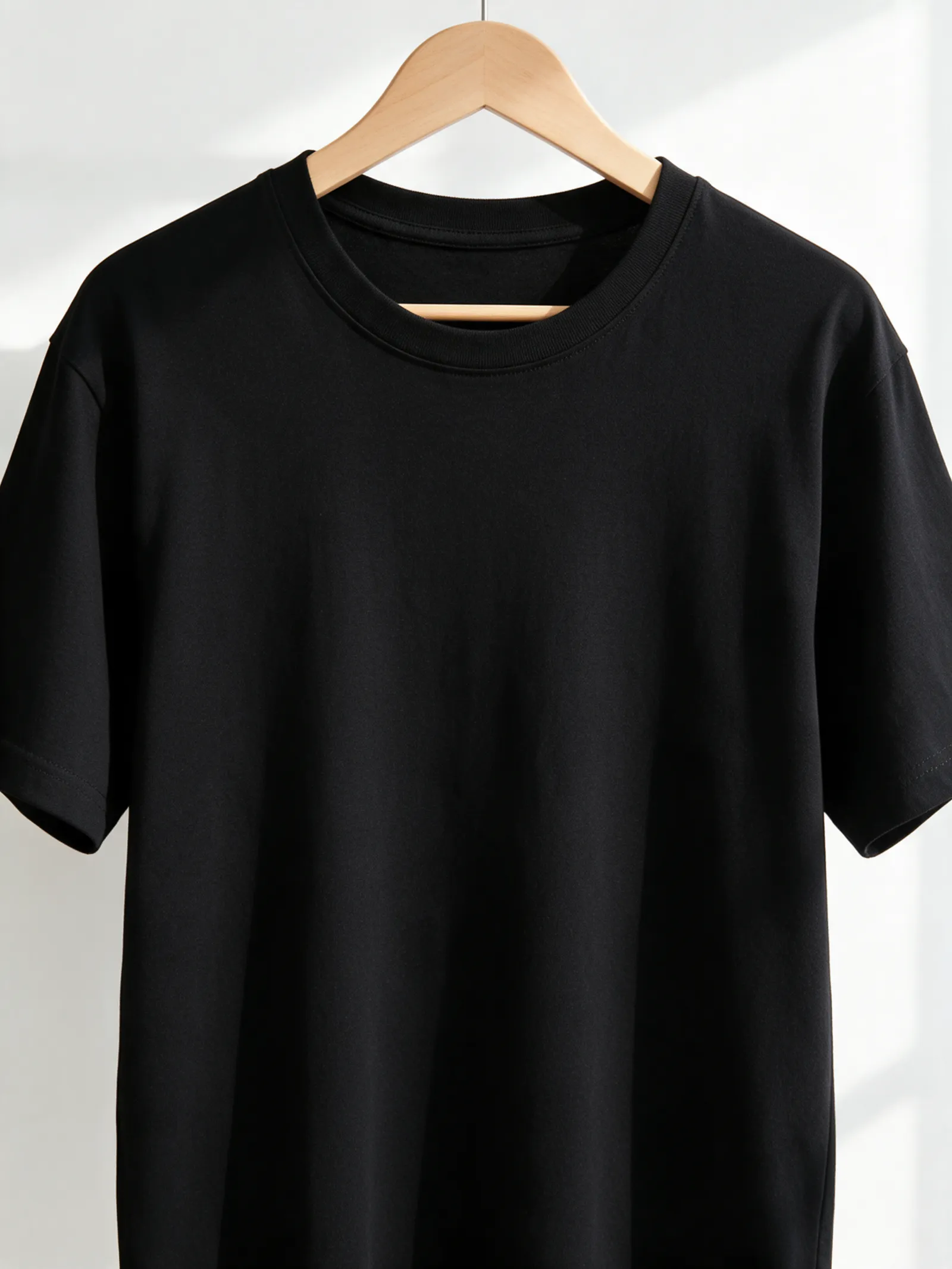
In words
Banjul, word for word
From Banjul's own names, set in its own type: its streets from A to Z, the sentence and its name built big. Each one a print you can make yours.
Browse now · Orders in Germany open soon
Banjul, ready to hang and wear
01 · 7 maps
Down to the Gambia
Banjul's streets, drawn four ways, plus studies of only its water, roads or green.
See all 7 mapsShow fewer
02 · 5 designs
Street by street
Banjul in words: the sentence, finished, its name built big and its streets in order. Kankujereh Road runs longest through the middle of town.
See all 5 designsShow fewer
03 · 6 designs
Along 13° north
Banjul, measured: the distance to somewhere else, its year, month by month and how far it is to everywhere else. Its days run from 11½ to 13 hours of light.
See all 6 designsShow fewer
04 · 1 date design
Keep the date
The day that made Banjul yours, set like an invitation and signed with its coordinates, 13.455° N, 16.579° W. You write the words.
05 · 14 designs to wear and use
Out the door
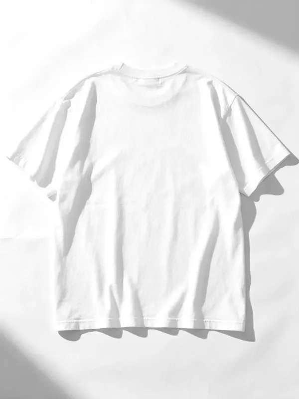
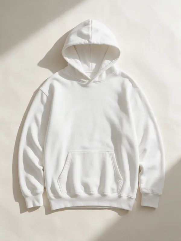
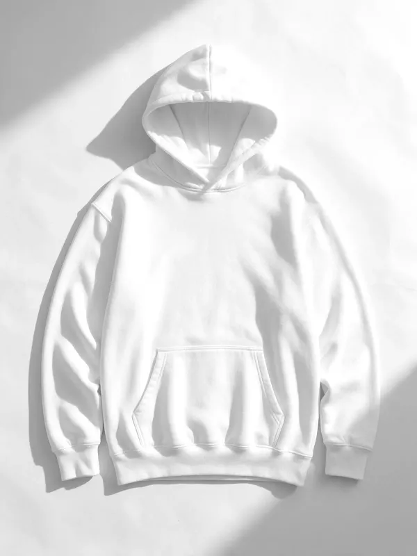
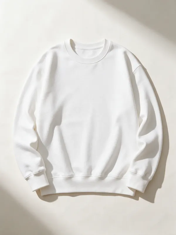
Banjul on tees, hoodies, crewnecks, mugs and stickers, made for you.
- TeeThe Sentence tee, on white
- Line Map teeIndex
- Crest tee
- The Chart hoodieSun Path
- The Sentence crewneck
- Crewneck, left chestThe Sentence crewneckSignal
- Coordinates hoodie
- Tee, left chestCoordinates teeField notes
 Crest mug
- Crewneck, left chestThree Arcs crewneckSun Path
- Marquee stickers
- Words: the one I left teeSignal
- The Sentence tee
- Line Map hoodieField notes
- Crest crewneck
Ways in
Start from the moment. It opens set up.
Each one has the words, a pin, a date and a style already in place for Banjul. Open it, then make every part yours.
New home
The front door
A pin on home, the year you moved in and a welcome under the map.
Moving away
Our corner
The city at night, a pin where everyone used to meet and a line to take with you.
Where we met
The corner
Two inks, a heart on the spot and your names under the map.
Wedding
The stamp
“Married”, the date and your names in a ring of the place and its coordinates.